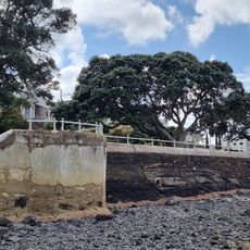
Takarunga / Mount Victoria, Volcanic peak in Devonport, New Zealand
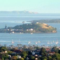
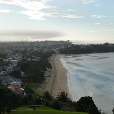
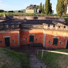
Takarunga / Mount Victoria is a 66-metre volcanic cone, the highest on Auckland's North Shore, with lava flows that now form much of Devonport's waterfront. Its upper slopes hold a 19th-century gun fort, concrete army bunkers, a signal station site, a cemetery and a water reservoir.
A pā occupied the slopes, and some of its earthworks remain. Waiohua paramount chief Kiwi Tāmaki used the hill seasonally in the 18th century for bird catching and preservation. French navigator Jules Dumont d'Urville climbed it in 1827; early settlers then named it Mount Victoria after Queen Victoria. A signal station followed in 1841, the hill became a public reserve in 1880, and a gun fort built in 1885 stayed in use until after World War II.
The name Takarunga means "The Hill Standing Above", paired with Takararo, "The Hill Standing Below", for the quarried Mount Cambria. In the 18th century Waiohua paramount chief Kiwi Tāmaki used the slopes seasonally for bird catching and preservation. Earthworks of the pā remain on the slopes.
The summit is accessible via walking paths that begin from different streets around the base and climb to the top. The walk involves a steady incline and visitors should wear appropriate footwear for varied terrain.
The red-and-white fly agaric mushrooms on the upper slopes are painted covers over ventilation shafts of the tunnels of the former artillery emplacements. Students painted them as a prank in the 1980s; the covers were so popular that the North Shore City Council kept them and repaints them when needed.
The community of curious travelers
AroundUs brings together thousands of curated places, local tips, and hidden gems, enriched daily by 93,766 contributors worldwide.