Chest opened
+${chestReward.xp} XP
Explorer
NOUVEAU ×${chestReward.collectible.quantity}
tapez pour fermer

See the monuments around you in AR Open chests in the app

Around Us is built for your phone — point your camera at the streets and discover the monuments and places around you in augmented reality. Around Us is built for your phone — chests unlock when you walk, explore and capture nearby places.

•

Enable Location

We need your location to show you interesting places around you

Discover nearby places

Find interesting locations and hidden gems around you

Precise directions

Get accurate directions and distances to places

Your location is never shared with other users. It's only used when you tap the location button.

Te Rau-o-te-Huia / Mount Donald McLean

Log in to your account

Start exploring — it's free

Trusted by 94,035 travelers worldwide

Continue with Google
Continue with Apple
or

We will send you a code to connect

By continuing, you accept our Terms and Conditions and our Privacy Policy

Check your inbox

We've sent a pincode in your inbox. Please enter the code below.

Te Rau-o-te-Huia / Mount Donald McLean

Te Rau-o-te-Huia / Mount Donald McLean, Summit in Waitakere Ranges, Auckland Region, New Zealand

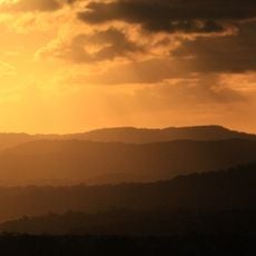
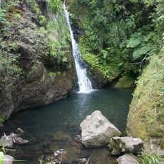
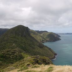
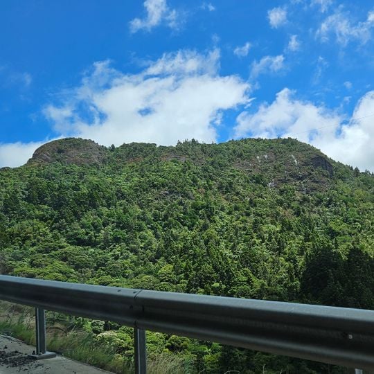
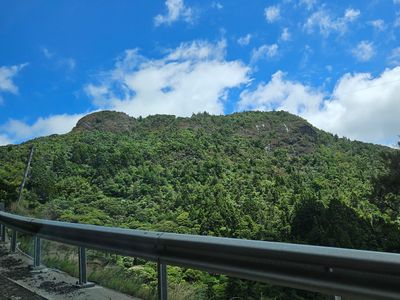
Te Rau-o-te-Huia / Mount Donald McLean is a 389 m peak in the southern Waitākere Ranges, about 2 km northwest of Little Huia. Its slopes are covered in native bush, including kauri, rimu, nīkau, tōtara, tānekaha, lancewood and rewarewa. The hill is the source of the south-flowing Baker Stream and some tributaries of the east-flowing Marama Stream.

Te Rau-o-te-Huia / Mount Donald McLean is part of the Waitākere volcano, which began erupting 23 million years ago in the Miocene. Most of the volcano had eroded by five million years ago; only its eastern slopes were uplifted from the sea floor to form today's ranges. In the 1850s the Gibbons family milled kauri on the hill's north side, and early 20th-century fires left mānuka scrub.

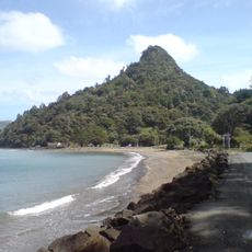
The name Te Rau-o-te-Huia, 'The Plumes of the Huia', referred to both the hill and Huia Bay; the plumes were a metaphor for the pride the name's giver felt in the area. The hill lies within the rohe of Te Kawerau ā Maki and overlooked kāinga around Huia Bay.

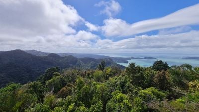
Access is by Mt Donald McLean Road off Whatipu Road, or on foot via the Puriri Ridge Track and the Donald McLean Track. The summit track was upgraded in the late 1980s. A viewing platform stands at the top, and Mount Taranaki is visible from it on a clear day.

The summit viewing platform was added when the track was upgraded in the late 1980s. From it, Mount Taranaki is visible on clear days, roughly 200 km to the southwest, a sight that drew trampers here from the 1930s onward.

The community of curious travelers

AroundUs brings together thousands of curated places, local tips, and hidden gems, enriched daily by 94,035 contributors worldwide.
Start exploring
Location
Elevation above the sea
389 m
Part of
Waitākere Ranges
Address
Te Rau-o-te-Huia / Mount Donald McLean, Huia, Auckland 0604, New Zealand
GPS coordinates
-37.01553,174.54004
Latest update
November 6, 2026 09:57
Reviews
Share your experience

No review yet

Discussions
Start a discussion...

No discussion yet

« Te Rau-o-te-Huia / Mount Donald McLean - Summit in Waitakere Ranges, Auckland Region, New Zealand » is provided by Around Us (aroundus.com). Images and texts are derived from Wikimedia project under a Creative Commons license. You are allowed to copy, distribute, and modify copies of this page, under the conditions set by the license, as long as this note is clearly visible.

Discover hidden gems everywhere you go!

From secret cafés to breathtaking viewpoints, skip the crowded tourist spots and find places that match your style. Our app makes it easy with voice search, smart filtering, route optimization, and insider tips from travelers worldwide. Download now for the complete mobile experience.

Around Us App Screenshot
❝

A unique approach to discovering new places❞

— Le Figaro

❝

All the places worth exploring❞

— France Info

❝

A tailor-made excursion in just a few clicks❞

— 20 Minutes

Around Us
Travel Guide & Maps
Download

Send to your phone

QR Code
1

Open the camera app on your mobile.

2

Point at the QR code with your camera. A notification will appear.

3

Tap the notification to open the link.