Enable Location

We need your location to show you interesting places around you

Discover nearby places

Find interesting locations and hidden gems around you

Precise directions

Get accurate directions and distances to places

Your location is never shared with other users. It's only used when you tap the location button.

Lucas Creek

Log in to your account

Start exploring — it's free

Trusted by 62,838 travelers worldwide

Continue with Google
Continue with Apple
or

We will send you a code to connect

By continuing, you accept our Terms and Conditions and our Privacy Policy

Check your inbox

We've sent a pincode in your inbox. Please enter the code below.

Lucas Creek

Lucas Creek, Tidal estuary in Upper Harbour, New Zealand

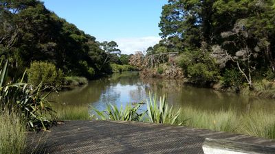
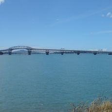
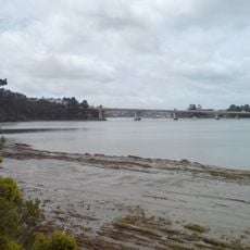
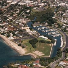
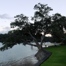
Lucas Creek is a tidal estuary located in Upper Harbour on Auckland's western North Shore. It flows through Albany and merges with Oteha Stream before expanding into a wide tidal inlet near Greenhithe.

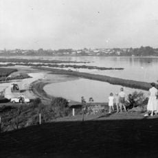
The waterway transformed from a freshwater river into a tidal estuary between 12,000 and 7,000 years ago as sea levels rose. This geological change shaped the landscape that people have inhabited and used ever since.

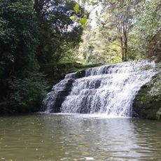
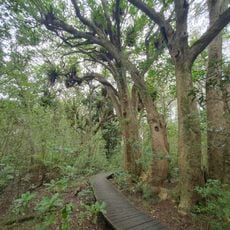
The waterway held deep meaning for Māori people who relied on it for food like eels, crayfish, and flounder. The traditional names Ōkahukura and Kaipātiki still reflect this long connection between the stream and the local community.

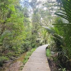
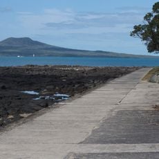
Environmental monitoring stations along the creek provide current information about water conditions and health if you want to learn more. Access is easy from the walking paths and parks in Albany and Greenhithe, where you can find good viewing spots.

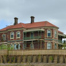
During the 1860s, the area around the creek became known for illegal whiskey making operations, giving rise to a location called Whisky Cove. This hidden chapter in the creek's past remains a curious part of local history that few visitors realize.

The community of curious travelers

AroundUs brings together thousands of curated places, local tips, and hidden gems, enriched daily by 60,000 contributors worldwide.

Start exploring
Location
Upper Harbour
GPS coordinates
-36.73418,174.68764
Latest update
December 14, 2025 17:02
« Lucas Creek - Tidal estuary in Upper Harbour, New Zealand » is provided by Around Us (aroundus.com). Images and texts are derived from Wikimedia project under a Creative Commons license. You are allowed to copy, distribute, and modify copies of this page, under the conditions set by the license, as long as this note is clearly visible.

Discover hidden gems everywhere you go!

From secret cafés to breathtaking viewpoints, skip the crowded tourist spots and find places that match your style. Our app makes it easy with voice search, smart filtering, route optimization, and insider tips from travelers worldwide. Download now for the complete mobile experience.

Around Us App Screenshot

A unique approach to discovering new places

Le Figaro

All the places worth exploring

France Info

A tailor-made excursion in just a few clicks

20 Minutes

Around Us
Travel Guide & Maps
Download

Send to your phone

QR Code
1

Open the camera app on your mobile.

2

Point at the QR code with your camera. A notification will appear.

3

Tap the notification to open the link.