
Kopuatai Stewardship Area, stewardship area in New Zealand
Location: Matamata-Piako District
Inception: 1988
GPS coordinates: -37.46700,175.52900
Latest update: March 30, 2025 16:37
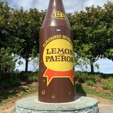
Big Lemon & Paeroa bottle
15.9 km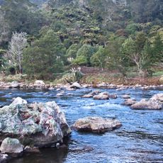
Karangahake Gorge
18.1 km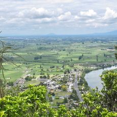
Taupiri
33.8 km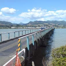
Kopu Bridge
30.9 km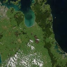
Kopuatai Peat Dome
4.2 km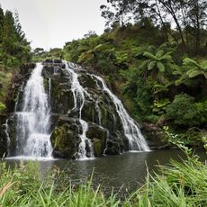
Owharoa Falls
21.4 km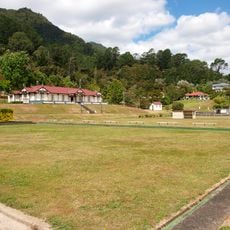
Te Aroha Domain Historic Area
18.6 km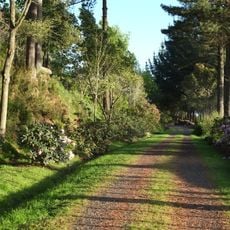
Waitakaruru Arboretum
34.7 km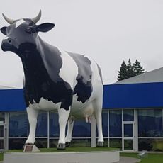
Mega Cow
21.5 km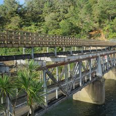
Karangahake Gorge bridge
17.6 km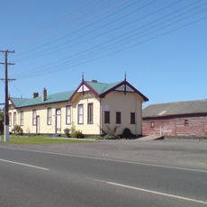
Railway Goods Shed
36 km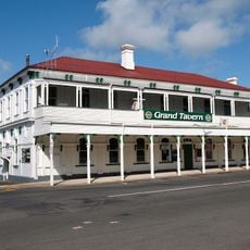
Grand Tavern
18.5 km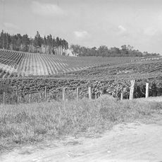
Te Kauwhata Winery
35 km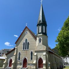
St George's Church
36.7 km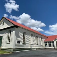
St James' Union Church Hall
36.8 km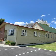
St George’s Church Hall
36.7 km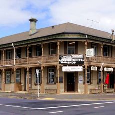
Brian Boru Hotel
36.2 km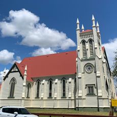
St James' Union Church
36.8 km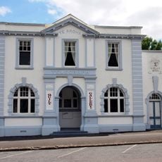
Post Office
18.4 km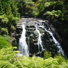
Owharoa Falls Scenic Reserve
21.3 km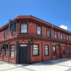
Junction Hotel
36.9 km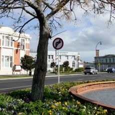
Paeroa Post Office
15.8 km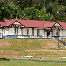
Cadman Bath House
18.6 km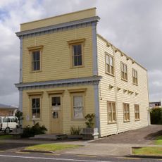
Sir Walter Scott Lodge of Light
36.4 km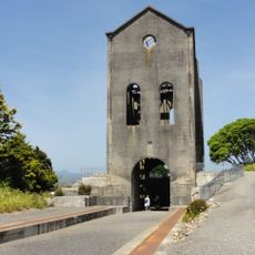
Martha Mine No 5 Pumphouse
29.1 km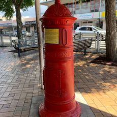
Pillar Boxes
36.6 km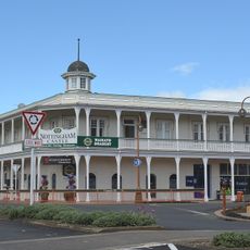
Nottingham Castle Hotel
21.3 km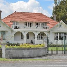
Corbett House
22.4 kmReviews
Visited this place? Tap the stars to rate it and share your experience / photos with the community! Try now! You can cancel it anytime.
Discover hidden gems everywhere you go!
From secret cafés to breathtaking viewpoints, skip the crowded tourist spots and find places that match your style. Our app makes it easy with voice search, smart filtering, route optimization, and insider tips from travelers worldwide. Download now for the complete mobile experience.

A unique approach to discovering new places❞
— Le Figaro
All the places worth exploring❞
— France Info
A tailor-made excursion in just a few clicks❞
— 20 Minutes