
Tahanga, wāhi tapu in Opito, New Zealand
Location: Thames-Coromandel District
Address: 34 Ohinau Drive, Opito Bay, Opito
GPS coordinates: -36.72615,175.80992
Latest update: March 23, 2025 12:06
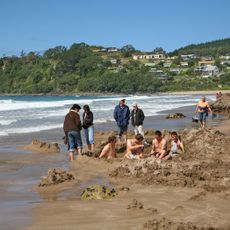
Hot Water Beach
17.1 km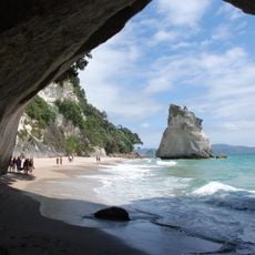
Te Whanganui-o-Hei / Cathedral Cove Marine Reserve
10.6 km
Driving Creek Railway
27.3 km
New Chums Beach
18.5 km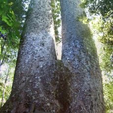
Siamese Kauri
26.1 km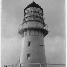
Cuvier Island Lighthouse
31.9 km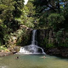
Waiau Falls
26.2 km
Aldermen Islands Nature Reserve
26.8 km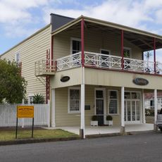
Lady Bowen Hotel
51.4 km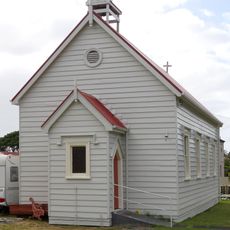
St John's Church
50.3 km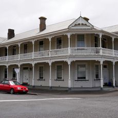
Royal Hotel
51.3 km
School of Mines Museum
27.6 km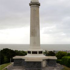
World War One Memorial
51.1 km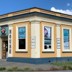
Assay House Tearooms
28.1 km
Rostgard’s Drapery
28.2 km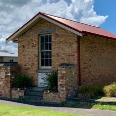
Saxon Shafts Pump Station
51.3 km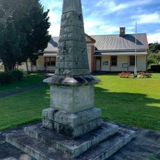
Queen Victoria Monument
28 km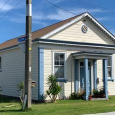
Masonic Lodge No 17
27.6 km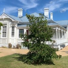
House
27.7 km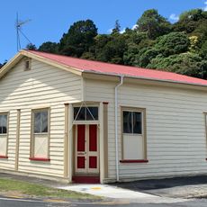
Thames Borough Council Office
51.3 km
Hauraki Mine Office
27.7 km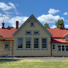
Primary School and Shelter Sheds
28 km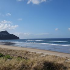
Pauanui Beach
32.7 km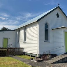
Methodist Church
27.7 km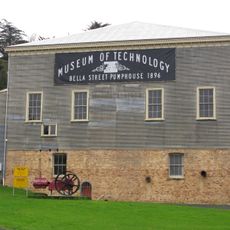
Museum of Technology
51.3 km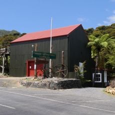
Government Battery
27.1 km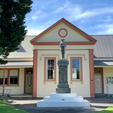
Coromandel Courthouse
28 km
Thames North School
50.4 kmReviews
Visited this place? Tap the stars to rate it and share your experience / photos with the community! Try now! You can cancel it anytime.
Discover hidden gems everywhere you go!
From secret cafés to breathtaking viewpoints, skip the crowded tourist spots and find places that match your style. Our app makes it easy with voice search, smart filtering, route optimization, and insider tips from travelers worldwide. Download now for the complete mobile experience.

A unique approach to discovering new places❞
— Le Figaro
All the places worth exploring❞
— France Info
A tailor-made excursion in just a few clicks❞
— 20 Minutes