Enable Location

We need your location to show you interesting places around you

Discover nearby places

Find interesting locations and hidden gems around you

Precise directions

Get accurate directions and distances to places

Your location is never shared with other users. It's only used when you tap the location button.

Cowra

Log in to your account

Start exploring — it's free

Trusted by 61,958 travelers worldwide

Continue with Google
Continue with Apple
or

We will send you a code to connect

By continuing, you accept our Terms and Conditions and our Privacy Policy

Check your inbox

We've sent a pincode in your inbox. Please enter the code below.

Cowra, Agricultural center in Central West New South Wales, Australia

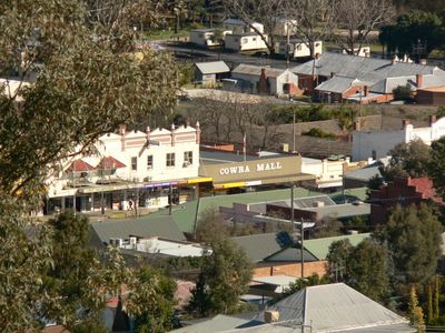
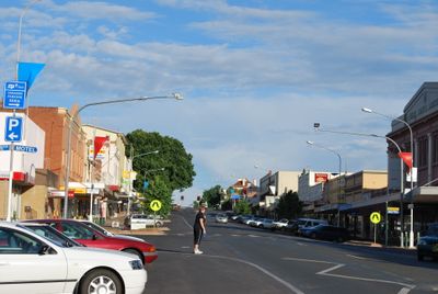
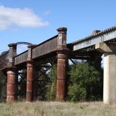
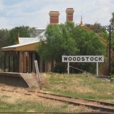
Cowra is a rural center in Central West New South Wales, located along the Lachlan River where the Mid-Western and Olympic Highways intersect. The town sits at around 310 meters elevation and spreads across agricultural land west of Sydney.

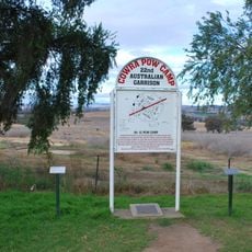
The town became known during World War II when it housed a prisoner of war camp holding Japanese soldiers. A mass escape attempt in August 1944 left a lasting mark on the place's history.

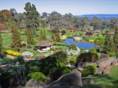
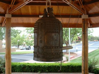
The Japanese Garden shapes the town's character with traditional design elements and carefully arranged plants that guide visitors through different sections. It serves as a gathering place where people walk and experience the calm spirit of Japanese garden culture.

The town is easy to explore on foot, with the Visitor Information Centre serving as a central point for advice and guidance. Most sites like gardens and cemeteries are open year-round and require no special preparation.

The town holds the only Japanese war cemetery outside Japan, honoring soldiers who fell there. This cemetery draws visitors from Japan and around the world who wish to explore this history.

The community of curious travelers

AroundUs brings together thousands of curated places, local tips, and hidden gems, enriched daily by 60,000 contributors worldwide.

Start exploring
Location
Location
Location
Elevation above the sea
302 m
Shares border with
Mount Collins, Koorawatha, Wattamondara, Woodstock, Canowindra, Bumbaldry, Darbys Falls, Billimari, Gooloogong
GPS coordinates
-33.81833,148.65778
Latest update
December 20, 2025 00:30
« Cowra - Agricultural center in Central West New South Wales, Australia » is provided by Around Us (aroundus.com). Images and texts are derived from Wikimedia project under a Creative Commons license. You are allowed to copy, distribute, and modify copies of this page, under the conditions set by the license, as long as this note is clearly visible.

Discover hidden gems everywhere you go!

From secret cafés to breathtaking viewpoints, skip the crowded tourist spots and find places that match your style. Our app makes it easy with voice search, smart filtering, route optimization, and insider tips from travelers worldwide. Download now for the complete mobile experience.

Around Us App Screenshot

A unique approach to discovering new places

Le Figaro

All the places worth exploring

France Info

A tailor-made excursion in just a few clicks

20 Minutes

Around Us
Travel Guide & Maps
Download

Send to your phone

QR Code
1

Open the camera app on your mobile.

2

Point at the QR code with your camera. A notification will appear.

3

Tap the notification to open the link.