
Canobolas Regional Park
Location: New South Wales
Elevation above the sea: 882 m
GPS coordinates: -33.24861,149.16778
Latest update: March 2, 2025 21:24
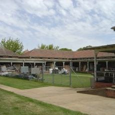
Bloomfield Hospital
10.2 km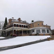
Duntryleague with Lodge, Park, Gates and former Stables, Woodward St, Orange, NSW, Australia
8.6 km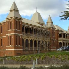
Old Bathurst Hospital
41.5 km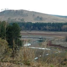
Suma Park Dam
4.8 km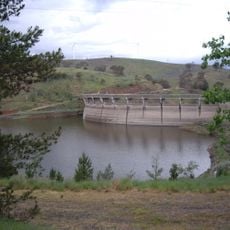
Carcoar Dam
41 km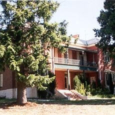
Llanarth (house)
39.6 km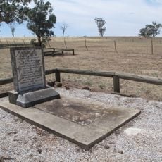
Grave of Yuranigh
30 km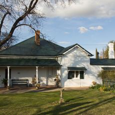
Miss Traill's House
42 km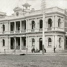
Orange Post Office
7.4 km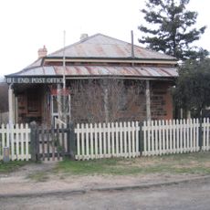
Hill End Historic Site
33.4 km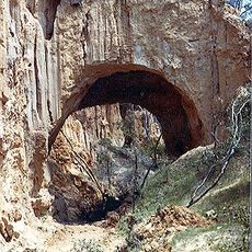
Golden Gully and Archway
34.7 km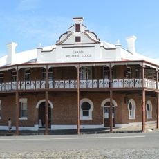
Grand Western Lodge
22 km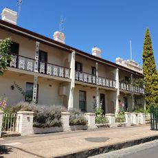
Bowen Terrace
7 km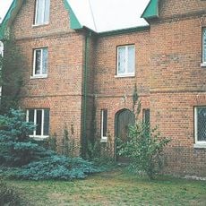
Old Rectory, Carcoar
40.3 km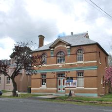
Carcoar School of Arts
40.5 km
Uniting Church and Kindergarten Hall, Orange
7.5 km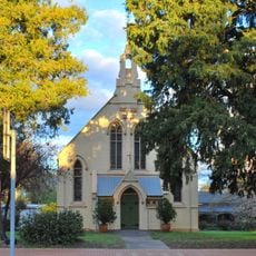
Blayney Uniting Church
32.4 km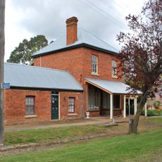
The Saddlery
40.5 km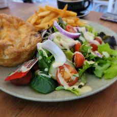
The Old Mill Cafe & Restaurant
22.2 km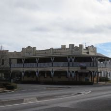
Freemasons Hotel, Molong
32.7 km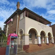
Molong Post Office
32.8 km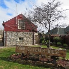
Cobb And Co Coach House, Molong
32.9 km
CBC Bank, Molong
32.8 km
Old Commonwealth Bank, Molong
32.9 km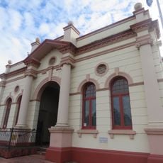
Molong Town Hall
33 km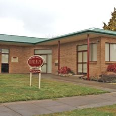
Blayney Library
32.6 km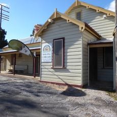
Molong Library
33.3 km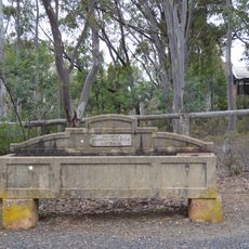
Horse trough
34 kmReviews
Visited this place? Tap the stars to rate it and share your experience / photos with the community! Try now! You can cancel it anytime.
Discover hidden gems everywhere you go!
From secret cafés to breathtaking viewpoints, skip the crowded tourist spots and find places that match your style. Our app makes it easy with voice search, smart filtering, route optimization, and insider tips from travelers worldwide. Download now for the complete mobile experience.

A unique approach to discovering new places❞
— Le Figaro
All the places worth exploring❞
— France Info
A tailor-made excursion in just a few clicks❞
— 20 Minutes