
Five Ways, locality in New South Wales, Australia
Location: Bogan Shire Council
GPS coordinates: -32.14611,147.00417
Latest update: April 1, 2025 23:20
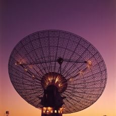
Parkes Observatory
151.4 km
Taronga Western Plains Zoo
149.2 km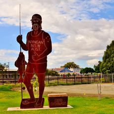
The Big Bogan
67.5 km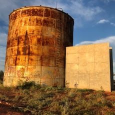
Cobar Sound Chapel
131.5 km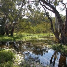
Macquarie Marshes Nature Reserve
141.2 km
Ben Hall's Death Site
146.3 km
Goobang National Park
141.1 km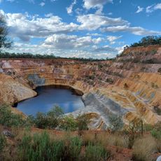
Peak Hill Open Cut Gold Mine
129 km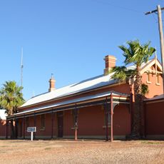
Cobar railway station
132.1 km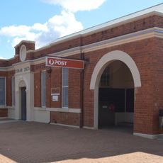
Cobar Post Office
131.7 km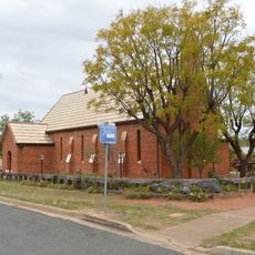
All Saints' Anglican Church, Condobolin
105.8 km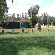
Chinese Graves and Burner at Nyngan Cemetery
66.5 km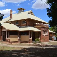
Nyngan Court House
67.3 km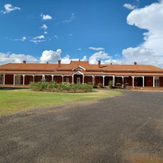
Peak Hill District Hospital
130.1 km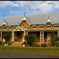
St Josephs Parish School
129.4 km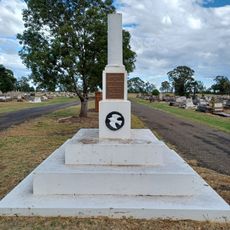
War Memorial Peak Hill
127 km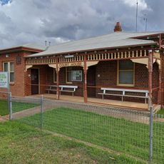
Peak Hill Court House
128.7 km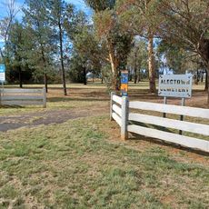
Alectown Cemetery
144.9 km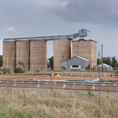
Peak Hill Silo
128.7 km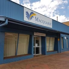
Narromine Library
116.7 km
Bogan Library
67.3 km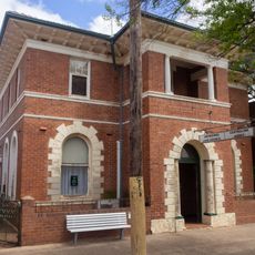
CBC Bank
128.8 km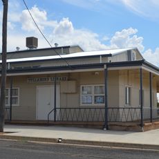
Tullamore Library
76.2 km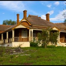
Sisters of Mercy Convent
129.5 km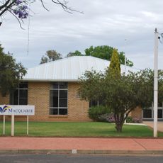
Trangie Library
92.6 km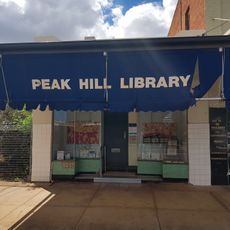
Peak Hill Library
128.8 km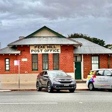
Peak Hill Post Office
128.7 km
Lake Cargelligo Library
141.2 kmReviews
Visited this place? Tap the stars to rate it and share your experience / photos with the community! Try now! You can cancel it anytime.
Discover hidden gems everywhere you go!
From secret cafés to breathtaking viewpoints, skip the crowded tourist spots and find places that match your style. Our app makes it easy with voice search, smart filtering, route optimization, and insider tips from travelers worldwide. Download now for the complete mobile experience.

A unique approach to discovering new places❞
— Le Figaro
All the places worth exploring❞
— France Info
A tailor-made excursion in just a few clicks❞
— 20 Minutes