
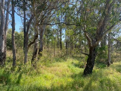
Cumberplain Plain Woodlands, National forest in Prestons, New South Wales
Location: New South Wales
Location: City of Liverpool
Elevation above the sea: 52 m
Address: 20 Bumbera St, Prestons NSW 2170 2170 2170
GPS coordinates: -33.94923,150.85447
Latest update: March 3, 2025 02:18
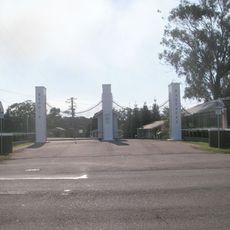
Ingleburn Army Camp
2.8 km
Horningsea Park
768 m
Inspire Church
2.7 km
Poole Street Reserve
1.8 km
Ardennes Park
2.1 km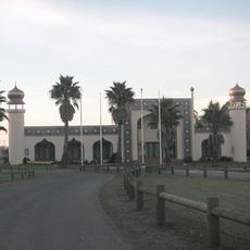
Sydney Trash & Treasure Bazaar
550 m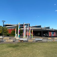
Michael Clarke Recreation Centre
1.7 km
Peppercorn Place
879 m
Buggys Bridge
2.6 km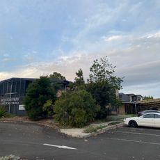
Hoxton Park Anglican Church
2.2 km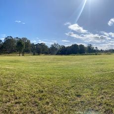
Puntillo Park
1.3 km
Sir Roden Cutler VC rest area
1.8 km
Mero's Reserve
2.3 km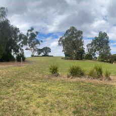
Puntillo Park
2.4 km
Carnes Hill Community and Recreation Precinct
1.8 km
Hoxton Park Reserve
2.8 km
Masjid Bilal
2.8 km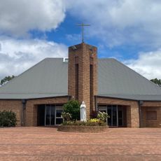
Holy Spirit Catholic Church Carnes Hill
1.6 km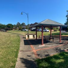
Ayshford Reserve
1.8 km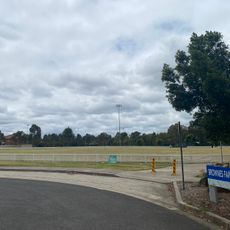
Brownes Farm Reserve
2 km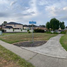
Glendevie Park
2.7 km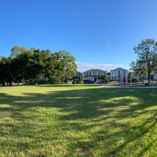
Lyons Park
678 m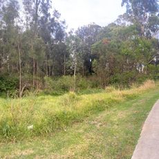
Alex Grimson Reserve
2 km
Carnes Hill Library
1.8 km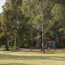
Dalmeny Reserve
1.3 km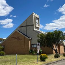
Hoxton Park Seventy-day Adventist Church
2.9 km
Bernera Reserve
1.1 km
Shale Hills Dog Park
2.7 kmReviews
Visited this place? Tap the stars to rate it and share your experience / photos with the community! Try now! You can cancel it anytime.
Discover hidden gems everywhere you go!
From secret cafés to breathtaking viewpoints, skip the crowded tourist spots and find places that match your style. Our app makes it easy with voice search, smart filtering, route optimization, and insider tips from travelers worldwide. Download now for the complete mobile experience.

A unique approach to discovering new places❞
— Le Figaro
All the places worth exploring❞
— France Info
A tailor-made excursion in just a few clicks❞
— 20 Minutes