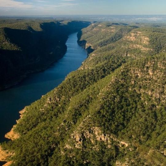
Lake Burragorang, reservoir in Australia
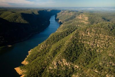
Lake Burragorang is a large man-made lake in the Blue Mountains of New South Wales, created by the Warragamba Dam. Water flows into it from multiple rivers including Cox, Kowmung, Nattai, Wingecarribee, Wollondilly, and Warragamba, spreading across a landscape surrounded by green hills and forests.
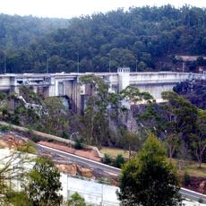
Explorer Paul Edmund de Strzelecki identified the Warragamba River as a possible water source for Sydney in 1845, and a dam was first proposed in 1867. Construction of Warragamba Dam ran from 1948 to 1960, submerging the farming towns and coal mines of Burragorang Valley. The dam was raised 5 metres after revised rainfall estimates in 1987–1989.
The Dharug and Gundungurra peoples lived in Burragorang Valley for thousands of years before white settlers arrived in the 19th century. The settlers built farming towns, including Burragorang, and coal mines; all now lie underwater. The name Burragorang comes from the Aboriginal language of the area.
The area is accessible by car with parking available, though gates close at night so plan your visit during daylight hours. Access is limited to protect water quality, with only specific lookouts and walking routes open to visitors.
The reservoir is 52 km long and its shoreline measures 354 km, with a maximum depth of 105 m and a surface area of 75.3 km². The 50 MW hydroelectric station at Warragamba Dam only runs when the water is within 1 m of full capacity, so it sat idle from 1998 to 2012 during the long drought.
The community of curious travelers
AroundUs brings together thousands of curated places, local tips, and hidden gems, enriched daily by 94,105 contributors worldwide.