
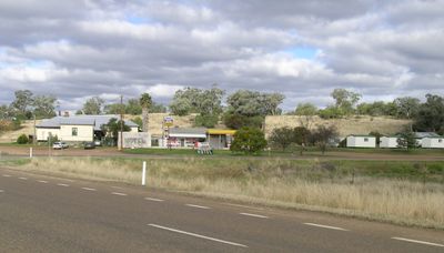
Mullaley, locality in New South Wales, Australia
Location: Gunnedah Shire Council
GPS coordinates: -31.09753,149.90891
Latest update: October 26, 2025 07:03
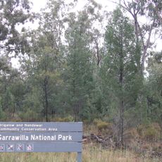
Garrawilla National Park
26.6 km
Gunnedah Rural Museum
33.7 km
Clock Tower
63.3 km
Sandstone Caves
48 km
Saturn - Solar System Drive
59.6 km
Saturn - Solar System Drive
63.8 km
Uranus - Solar System Drive
50.9 km
Lava Cave
67.3 km
Pilliga Pottery
56.7 km
Solar System Drive - Uranus
67.1 km
Ag-Quip Field Days
31 km
Porcupine Lookout
35.5 km
Yaminba Lookout
47.9 km
The Bundella Lookout
67.5 km
Scenic viewpoint
68.3 km
The Pinnacle Lookout
67.2 km
Pandora Pass
67.9 km
Apex Lookout
64.2 km
Baileys Lookout
29.3 km
Ginnagulla Lookout
60.9 km
Thunderbolt Lookout
58.6 km
Scenic viewpoint
34.7 km
Avards Lookout
34.6 km
Scenic viewpoint
35.5 km
Scenic viewpoint
35.7 km
Ruvigne Lookout
35.3 km
Scenic viewpoint
35.3 km
Scenic viewpoint
34.2 kmReviews
Visited this place? Tap the stars to rate it and share your experience / photos with the community! Try now! You can cancel it anytime.
Discover hidden gems everywhere you go!
From secret cafés to breathtaking viewpoints, skip the crowded tourist spots and find places that match your style. Our app makes it easy with voice search, smart filtering, route optimization, and insider tips from travelers worldwide. Download now for the complete mobile experience.

A unique approach to discovering new places❞
— Le Figaro
All the places worth exploring❞
— France Info
A tailor-made excursion in just a few clicks❞
— 20 Minutes