Garrawilla National Park, Nature reserve in Warrumbungle Shire Council, Australia.
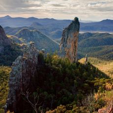
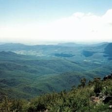
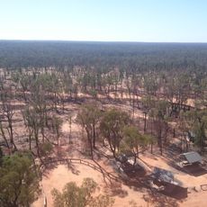
Garrawilla National Park is a nature reserve spanning roughly 937 hectares of varied landscapes between Coonabarabran and Mullaley in New South Wales. The area features a range of habitats and distinctive rock formations that shape the terrain.
The reserve was created in 2005 by the New South Wales government to protect the region's natural environment and native species. This action reflected broader conservation efforts in the area.
Garrawilla National Park lies on the northern side of the Oxley Highway, roughly halfway between Coonabarabran and Mullaley in New South Wales. The name Garrawilla comes from the locality where the park stands, and the reserve was gazetted in December 2005. Visitors travelling the highway can use the park as a landmark on the route between the two towns.
The park can be explored on foot, but visitors should gather detailed maps and local trail information before arriving. Proper preparation makes the visit safer and more rewarding.
Active predator control programs help protect native animal populations from invasive species threats. These management efforts are crucial for the long-term survival of local wildlife.
The community of curious travelers
AroundUs brings together thousands of curated places, local tips, and hidden gems, enriched daily by 93,790 contributors worldwide.