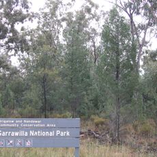
Warrumbungle National Park, Nature reserve in New South Wales, Australia
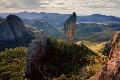
Warrumbungle National Park is a nature reserve in New South Wales featuring dramatic volcanic formations shaped by ancient geological processes. The most striking landmark is the Breadknife, a steep rock ridge that rises sharply from the valley below and dominates the landscape.
The park was formally protected as a reserve in 1953, marking an important moment in conserving the Warrumbungle Range for the future. The volcanic landscape itself formed millions of years ago, giving the area its distinctive character before any human designation arrived.
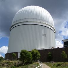
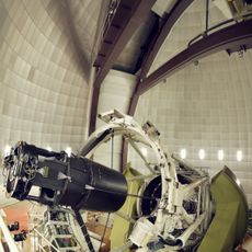
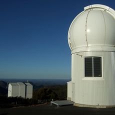
The park earned recognition as Australia's first International Dark Sky Park in 2016, attracting visitors who want to experience unpolluted night skies. Local communities have shaped how the land is used and valued, with stargazing becoming central to how people relate to the place today.
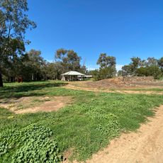
The park offers several camping grounds with basic facilities including showers and barbecue areas for those staying overnight. Plan visits for cooler morning or late afternoon hours to avoid the midday heat and enjoy better visibility across the landscape.
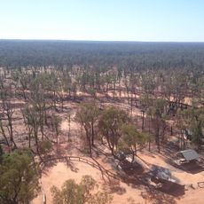
A major bushfire in 2013 burned much of the park's vegetation, yet the landscape has regrown with surprising vigor over the following years. Today you can see how nature recovers from such events, with new plant growth creating different textures and colors across the terrain.
The community of curious travelers
AroundUs brings together thousands of curated places, local tips, and hidden gems, enriched daily by 60,000 contributors worldwide.