Coolah Tops National Park, Nature reserve in Liverpool Plains, Australia.
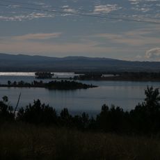
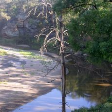
Coolah Tops National Park is a protected area in the Liverpool Range, 30 km east of Coolah and 258 km northwest of Sydney. Its plateau drops in waterfalls, and open forest with stands of snow gums and giant grass trees covers the hills. The Talbragar and Coolaburragundy rivers rise within the park.
Coolah Tops National Park was established on 5 July 1996 and is managed by the New South Wales National Parks and Wildlife Service. It lies in the Liverpool Range, 30 km east of Coolah and 258 km northwest of Sydney, and is rated IUCN category II. A statutory plan of management was adopted in 2003.
The park lies within the traditional country of the Kamilaroi (Gamilaraay) people, and the name Coolah is linked to an Aboriginal word. Visitors can note the grass trees, called blackboys locally, whose flowering spikes were used by Aboriginal people; the park's open forests and plateau edges are the settings where such plants and the Talbragar River headwaters are found.
Coolah Tops lies 30 km east of Coolah on Coolah Creek Road, about 258 km northwest of Sydney, and is reached by unsealed roads, so check conditions before setting out. Camping and walking are the main activities; the plateau tops give views over the Liverpool Plains. The park is managed under a plan of management adopted in 2003.
Coolah Tops holds one of the largest populations of greater gliders in Australia, living in open forest with stands of snow gums. The Talbragar River and the Coolaburragundy River both rise inside the park, a detail most visitors never notice.
The community of curious travelers
AroundUs brings together thousands of curated places, local tips, and hidden gems, enriched daily by 94,090 contributors worldwide.