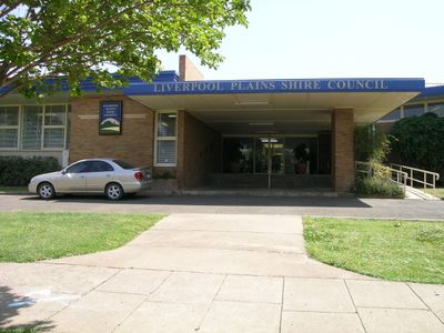
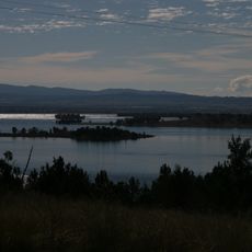
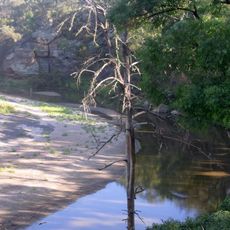
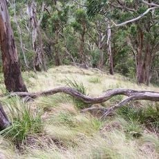
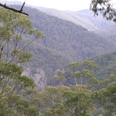
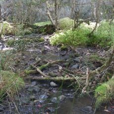
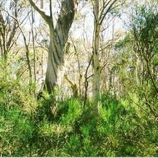
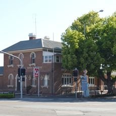
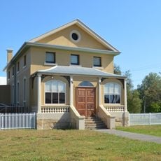
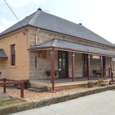
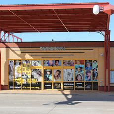
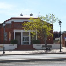
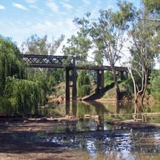
Liverpool Plains Shire, local government area in New South Wales, Australia
The community of curious travelers
AroundUs brings together thousands of curated places, local tips, and hidden gems, enriched daily by 60,000 contributors worldwide.
Location
Inception
2004
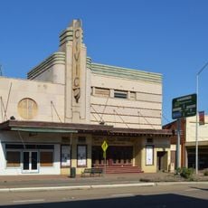
Capital city
Quirindi
Elevation above the sea
329 m
Phone
Email
Website
GPS coordinates
-31.48333,150.68333
Latest update
March 9, 2025 11:29