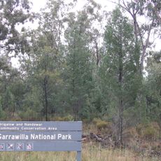
Mount Kaputar National Park, Nature reserve in New South Wales, Australia
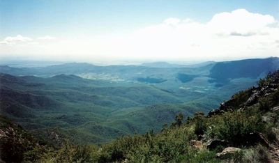
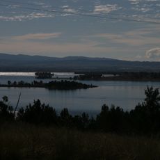
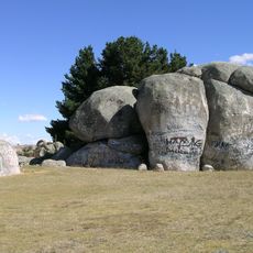
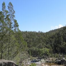
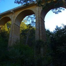
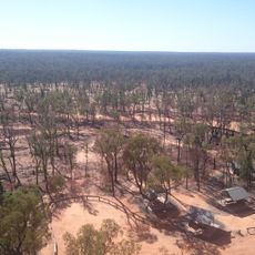
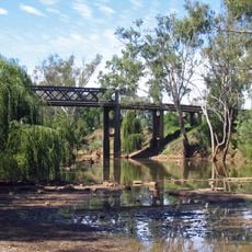
Mount Kaputar National Park is a nature reserve in New South Wales, Australia, shaped by volcanic rock formations, multiple peaks, and stone terraces. The terrain rises through different elevations, giving the landscape a rugged mountain character throughout.
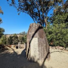
The area was used as grazing land before it became a public recreation area in 1925. It was then given national park status in 1959 under New South Wales administration.
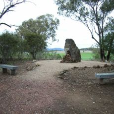
The land belongs to the Gamilaroi people, who have gathered food and medicine here for generations. Visitors walking through the park today move along the same routes this group has used for a very long time.
The park has walking trails for different fitness levels, along with camping areas and small accommodations on site. Water and basic facilities are available at selected spots, making it possible to stay for more than a day.
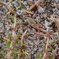
The park is home to a rare pink slug that lives only in this mountain area and comes out after rainfall. Its color is so noticeable that walkers who venture out after a shower are likely to spot one on the path.
The community of curious travelers
AroundUs brings together thousands of curated places, local tips, and hidden gems, enriched daily by 60,000 contributors worldwide.