Newtown

Log in to your account

AroundUs is a community-driven map of interesting places, built by curious explorers like you. It grows with every review, story, and photo you share.
Connect to save your favorite spots, contribute locations, and create personalized routes.
Continue with Google
Continue with Apple
Continue with X
Continue with Facebook
Continue with email
By continuing, you accept our Terms and Conditions and our Privacy Policy
Create an account
Add to collection
Map
Suggest a change
Share

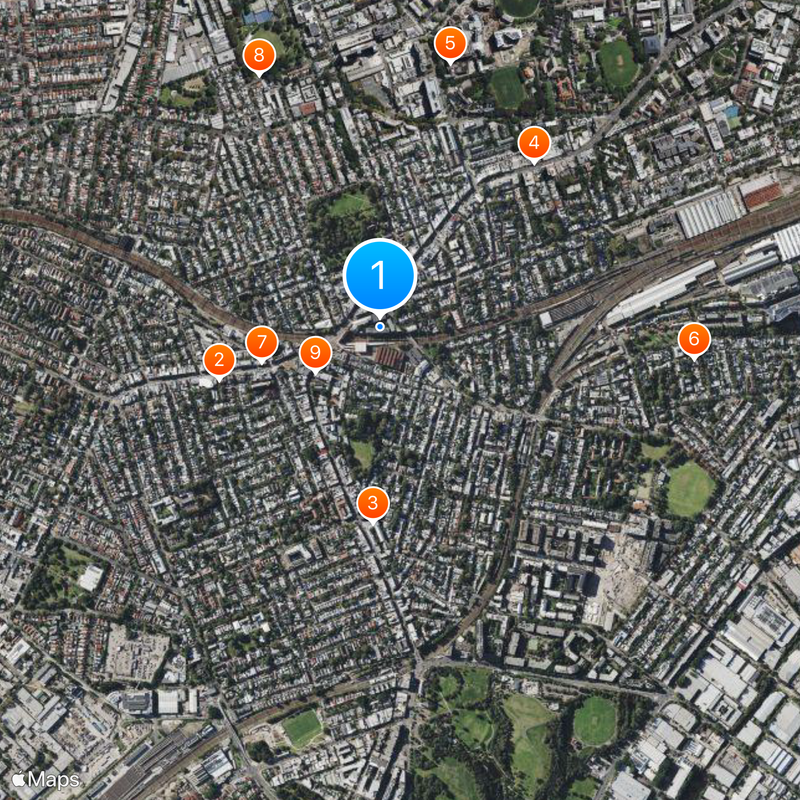
Newtown, Administrative division in Inner West Council, Australia

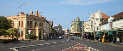
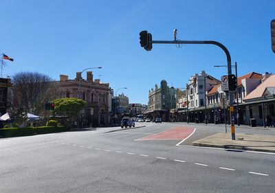
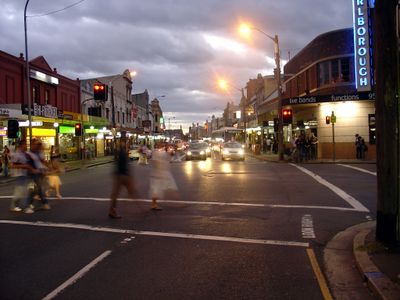
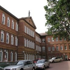
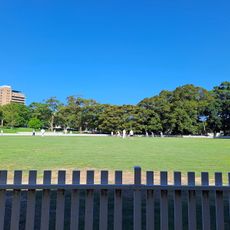
Newtown is an inner-city suburb of Sydney that spans several blocks with residential areas, shops, cafes, and restaurants throughout. The neighborhood is densely developed and connected by streets with a strong local character running through it.

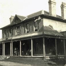
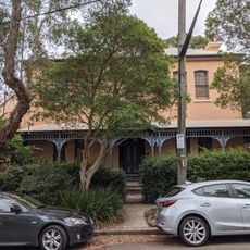
The area grew along Parramatta Road during early colonial times, which served as a key trade route into the inland regions. Over generations, it transformed from rural land into the densely settled urban neighborhood it is today.

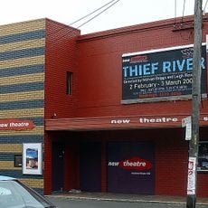
Newtown serves as a significant gathering place for the LGBTQ+ community in Sydney, with bars, shops, and venues that reflect this identity. Walking through the area, you notice how the streets host colorful murals, rainbow decorations, and independent businesses run by local residents.

The area is well served by public transport and easy to explore on foot, with most attractions within walking distance. There are many restaurants, cafes, and shops along the main streets where visitors can easily stop and rest.

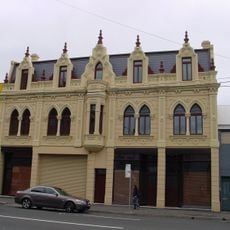
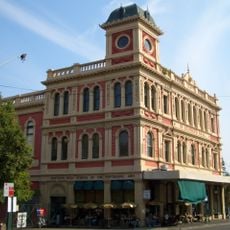
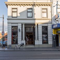
The area is known for its independent and alternative shops, small art galleries, and vintage stores scattered throughout the streets. This mix of locally-owned businesses with their own history makes shopping here feel different from typical commercial areas.

Location: New South Wales

Location: City of Sydney

Location: Inner West Council

Location: Petersham

Elevation above the sea: 37 m

Shares border with: Stanmore, Camperdown, Darlington, Marrickville, Enmore, St Peters, Eveleigh, Erskineville

GPS coordinates: -33.89750,151.18028

Latest update: December 14, 2025 20:01

Photos
Reviews

Visited this place? Tap the stars to rate it and share your experience / photos with the community! Try now! You can cancel it anytime.

« Newtown - Administrative division in Inner West Council, Australia » is provided by Around Us (aroundus.com). Images and texts are derived from Wikimedia project under a Creative Commons license. You are allowed to copy, distribute, and modify copies of this page, under the conditions set by the license, as long as this note is clearly visible.

Discover hidden gems everywhere you go!

From secret cafés to breathtaking viewpoints, skip the crowded tourist spots and find places that match your style. Our app makes it easy with voice search, smart filtering, route optimization, and insider tips from travelers worldwide. Download now for the complete mobile experience.

Around Us App Screenshot

A unique approach to discovering new places

Le Figaro

All the places worth exploring

France Info

A tailor-made excursion in just a few clicks

20 Minutes