
Boronia Park, park in New South Wales, Australia; geonames ID = 8150373
Location: New South Wales
Elevation above the sea: 53 m
GPS coordinates: -33.82480,151.14011
Latest update: March 14, 2025 17:44
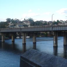
Fig Tree Bridge
787 m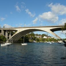
Tarban Creek Bridge
1.5 km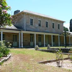
The Priory, Gladesville
1.4 km
The Garibaldi
1.9 km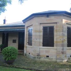
Carisbrook, Lane Cove
950 m
The Chalet
2 km
Marika, Hunters Hill
362 m
Linley House
982 m
21 Mark Street, Hunters Hill
641 m
Viewforth
738 m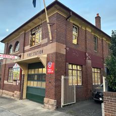
Gladesville Fire Station
1.3 km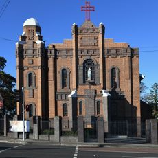
Our Lady Queen of Peace Church of Gladesville
1.3 km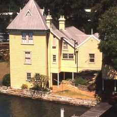
Fig Tree House
871 m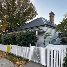
Cricklewood
631 m
11 Mark Street, Hunters Hill
613 m
Kentigern
537 m
19 Mark Street, Hunters Hill
635 m
Haeremai
602 m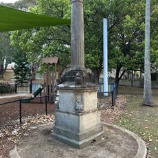
Monash Park obelisk
1.3 km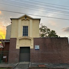
Hunters Hill Zone substation No. 129
1.1 km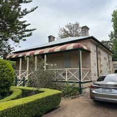
St Kevin's
978 m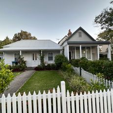
4-6 Hunter Street, Hunters Hill
681 m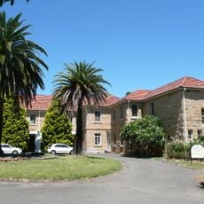
Villa Maria church monastery and grounds
1.2 km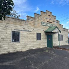
Gladesville Scout Hall
1.1 km
Gladesville Library
1.3 km
1 John Street, Hunters Hill
760 m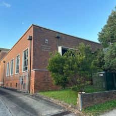
Hunters Hill Telephone Exchange
767 m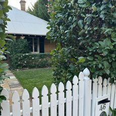
St Elmo
702 mReviews
Visited this place? Tap the stars to rate it and share your experience / photos with the community! Try now! You can cancel it anytime.
Discover hidden gems everywhere you go!
From secret cafés to breathtaking viewpoints, skip the crowded tourist spots and find places that match your style. Our app makes it easy with voice search, smart filtering, route optimization, and insider tips from travelers worldwide. Download now for the complete mobile experience.

A unique approach to discovering new places❞
— Le Figaro
All the places worth exploring❞
— France Info
A tailor-made excursion in just a few clicks❞
— 20 Minutes