
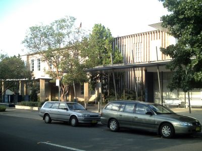
City of Holroyd, former local government area of New South Wales, Australia
Location: New South Wales
Inception: July 5, 1872
Elevation above the sea: 44 m
Website: http://holroyd.nsw.gov.au
GPS coordinates: -33.83333,150.98333
Latest update: March 3, 2025 14:46
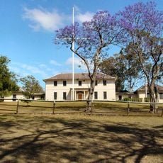
Old Government House, Parramatta
2.7 km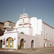
Roxy Theatre
3 km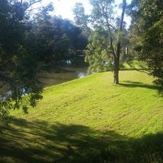
Parramatta Park
3.1 km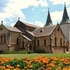
St John's Cathedral, Parramatta
2.7 km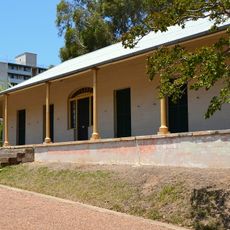
Experiment Farm Cottage
3.1 km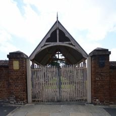
St John's Cemetery, Parramatta
2.3 km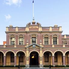
Parramatta Town Hall
2.7 km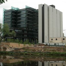
Parramatta Justice Precinct
2.9 km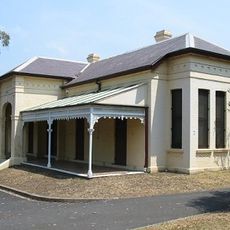
Linnwood
2.4 km
Granville Town Hall
2.4 km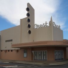
Crest Theatre, Granville
2.8 km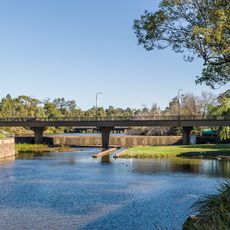
Bernie Banton Bridge
3.1 km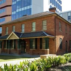
Brislington, Parramatta
2.9 km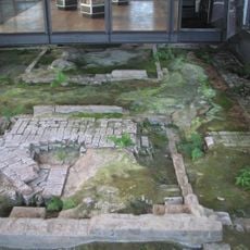
Parramatta Hospital Archaeological Site
2.9 km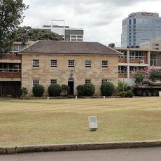
New South Wales Lancers Memorial Museum
2.8 km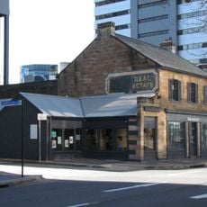
88-92 George Street, Parramatta
3 km
Lennox House, Parramatta
2.4 km
Essington
1.9 km
Perth House
3 km
Comfort Lodge
3.1 km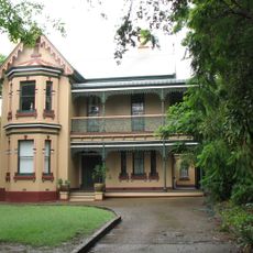
Camden, Rosehill
3.1 km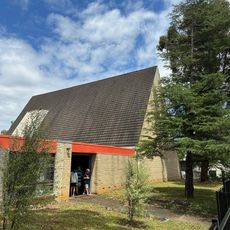
Wentworthville Anglican Church
3 km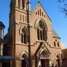
Leigh Memorial Church
2.8 km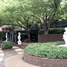
Granville Train Disaster Memorial Garden
2.4 km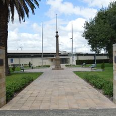
Granville War Memorial
2.8 km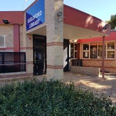
Guildford Library
2.1 km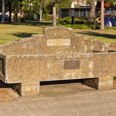
Horse trough
2.8 km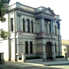
Granville Library
2.4 kmReviews
Visited this place? Tap the stars to rate it and share your experience / photos with the community! Try now! You can cancel it anytime.
Discover hidden gems everywhere you go!
From secret cafés to breathtaking viewpoints, skip the crowded tourist spots and find places that match your style. Our app makes it easy with voice search, smart filtering, route optimization, and insider tips from travelers worldwide. Download now for the complete mobile experience.

A unique approach to discovering new places❞
— Le Figaro
All the places worth exploring❞
— France Info
A tailor-made excursion in just a few clicks❞
— 20 Minutes