
Bradfield Carrier, sewer in Killara, NSW, Australia
Location: New South Wales
Inception: May 1961
GPS coordinates: -33.77956,151.14536
Latest update: June 16, 2025 09:29
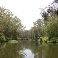
Lane Cove National Park
4.1 km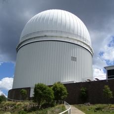
Australian Astronomical Observatory
1.9 km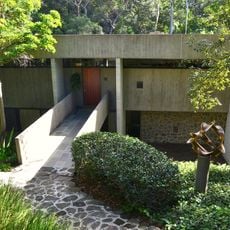
Harry and Penelope Seidler House
3 km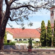
Northern Suburbs Crematorium
1.9 km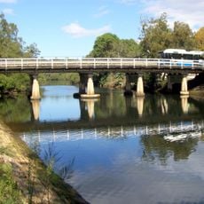
Fullers Bridge
1.8 km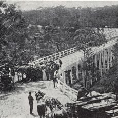
De Burghs Bridge
1 km
Eryldene, Gordon
2.7 km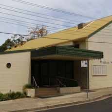
Marian Street Theatre
2.1 km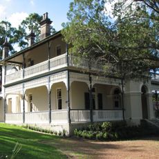
Woodlands
2.2 km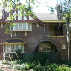
Tulkiyan
2.6 km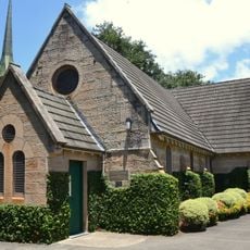
Chatswood South Uniting Church, Sydney
4.3 km
Gordon Public School
3 km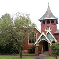
Tryon Road Uniting Church
2.6 km
Iolanthe, Gordon
2.4 km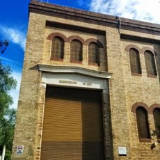
Pymble Substation
3.4 km
Chislehurst
3.5 km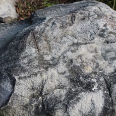
Commandment Rock
1 km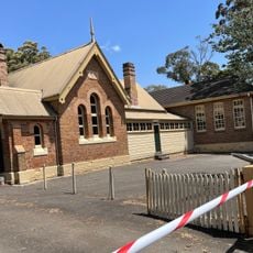
NSW Schoolhouse Museum
2.8 km
Gordon Golf Club
1.8 km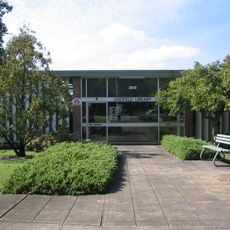
Lindfield Library
2.2 km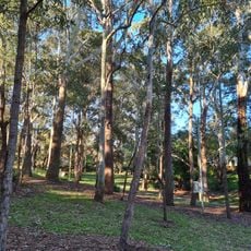
Campbell Park
3 km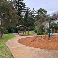
Bartels Park
3.4 km
Lowanna Park
3 km
Kenneth Slessor Park
3.6 km
Beauchamp Park
3.7 km
Gordon Library
2.9 km
North Ryde Library
2.7 km
Helen Street Reserve
4.3 kmReviews
Visited this place? Tap the stars to rate it and share your experience / photos with the community! Try now! You can cancel it anytime.
Discover hidden gems everywhere you go!
From secret cafés to breathtaking viewpoints, skip the crowded tourist spots and find places that match your style. Our app makes it easy with voice search, smart filtering, route optimization, and insider tips from travelers worldwide. Download now for the complete mobile experience.

A unique approach to discovering new places❞
— Le Figaro
All the places worth exploring❞
— France Info
A tailor-made excursion in just a few clicks❞
— 20 Minutes