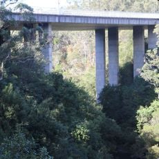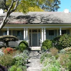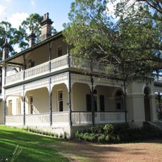
Lane Cove National Park, National park in Sydney, New South Wales, Australia
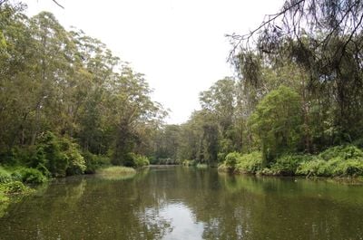
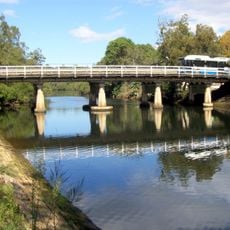
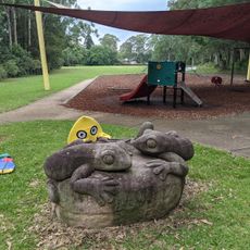
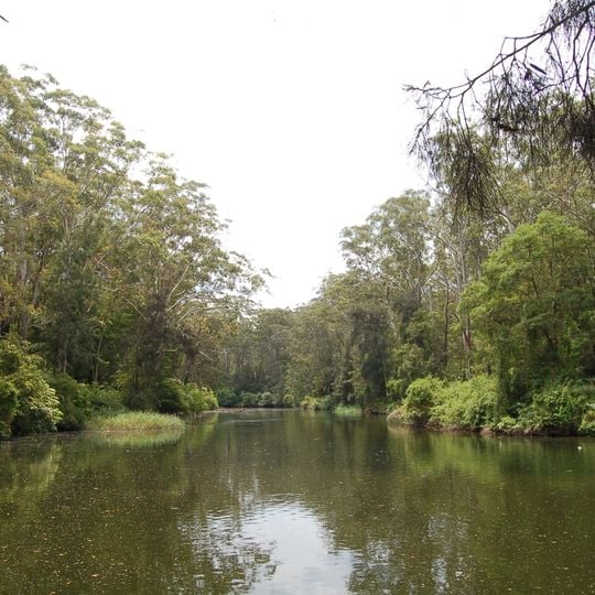
Lane Cove National Park covers 670 hectares on both banks of the Lane Cove River, about 10 kilometres north-west of Sydney's central business district. Its terrain is largely rugged valley slope under wet and dry sclerophyll forest, heathland, mangroves and tidal flats. The central section between De Burghs Bridge and Fullers Bridge holds picnic areas set among the bush.
The central section between De Burghs Bridge and Fullers Bridge was set aside as a park in the 1920s, with picnic areas laid out along the river. A weir built near Fullers Bridge in the 1930s turned the middle stretch from tidal salt water into fresh water at a constant level. The state government took direct control in 1982, and the reserve was renamed Lane Cove National Park in 1992.
Picnic areas were laid out among the bush along the river banks after the central section was set aside as a park in the 1920s. The main walking track beside the Lane Cove River follows part of the Great North Walk from Sydney to Newcastle and incorporates old logging trails. The volunteer group Friends of Lane Cove National Park formed after the 1994 bushfires and runs bushcare groups in the park.
Visitors should wear comfortable shoes and bring water, especially on warmer days when exploring the walking trails. It helps to get an overview of the park areas upon arrival and secure a parking spot if the grounds become busy.
A fish ladder beside the 1930s weir at Fullers Bridge lets Australian bass swim upstream to freshwater breeding grounds, turning the middle river from tidal salt water into a steady freshwater stretch used for rowing and canoeing.
The community of curious travelers
AroundUs brings together thousands of curated places, local tips, and hidden gems, enriched daily by 94,411 contributors worldwide.