
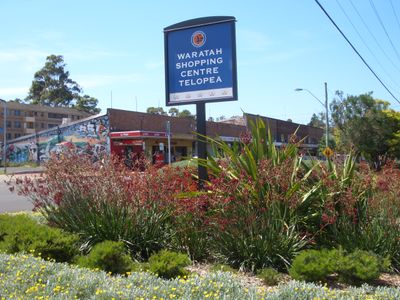
Telopea, suburb of Sydney, New South Wales, Australia
Location: New South Wales
Location: City of Parramatta Council
Location: City of Parramatta Council
Location: Field of Mars
Elevation above the sea: 59 m
GPS coordinates: -33.79222,151.04139
Latest update: March 14, 2025 14:28
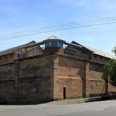
Parramatta Correctional Centre
3.9 km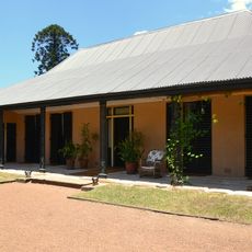
Elizabeth Farm
3.9 km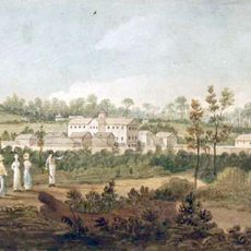
Parramatta Female Factory
3.9 km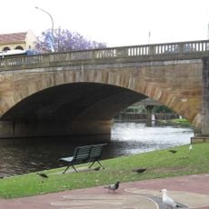
Lennox Bridge, Parramatta
3.9 km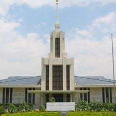
Sydney Australia Temple
2.1 km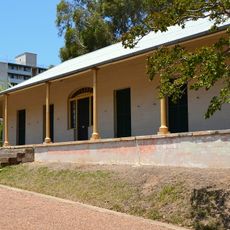
Experiment Farm Cottage
4.1 km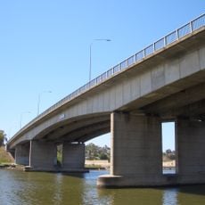
Silverwater Bridge
3.7 km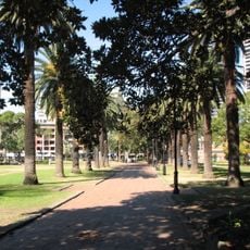
Prince Alfred Square
3.9 km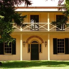
Redeemer Baptist Church
2.3 km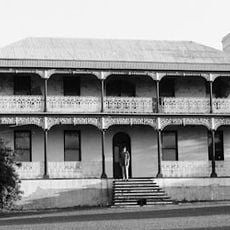
Brush Farm
2.4 km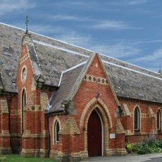
All Saints Anglican Church, Petersham
3.6 km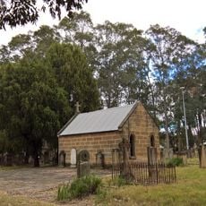
St Patricks Cemetery, Parramatta
3.3 km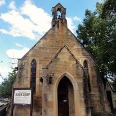
St Paul's Anglican Church, Carlingford
1.7 km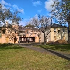
Broughton House, Parramatta
3.3 km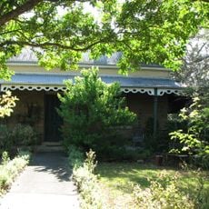
Riverview House, West Ryde
2.3 km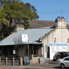
Oddfellows Arms Inn
3.6 km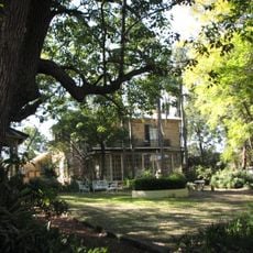
Endrim
3.4 km
88-92 George Street, Parramatta
4.1 km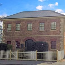
Harrisford
3.8 km
Perth House
4 km
Avondale, Parramatta
3.8 km
Murphy House, Parramatta
4 km
Elizabeth Farm Reserve
3.9 km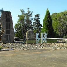
Galaringi Botanic Parkland
1.4 km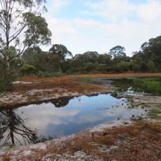
Blue Gum Reserve
3.6 km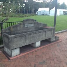
Horse Trough
3.8 km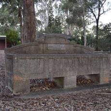
Horse trough
2.4 km
Elizabeth Street Footbridge
3.8 kmReviews
Visited this place? Tap the stars to rate it and share your experience / photos with the community! Try now! You can cancel it anytime.
Discover hidden gems everywhere you go!
From secret cafés to breathtaking viewpoints, skip the crowded tourist spots and find places that match your style. Our app makes it easy with voice search, smart filtering, route optimization, and insider tips from travelers worldwide. Download now for the complete mobile experience.

A unique approach to discovering new places❞
— Le Figaro
All the places worth exploring❞
— France Info
A tailor-made excursion in just a few clicks❞
— 20 Minutes