
Karuah National Park, national park in Australia
Location: Port Stephens Council
Operator: NSW National Parks and Wildlife Service
GPS coordinates: -32.58835,151.94498
Latest update: April 1, 2025 13:54
Tomaree National Park
26 km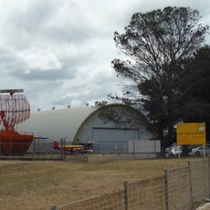
Fighter World
25.5 km
Tocal College
33.4 km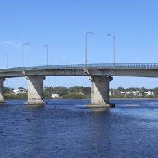
Tea Gardens-Hawks Nest Bridge
22.8 km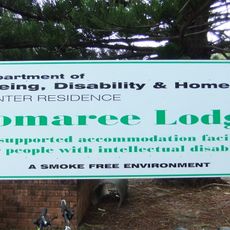
Tomaree Lodge
26.5 km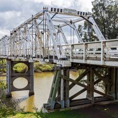
Morpeth Bridge
33.4 km
Rail Motor Society
31 km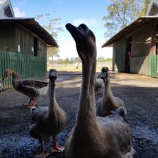
Oakvale Wildlife Park
23.1 km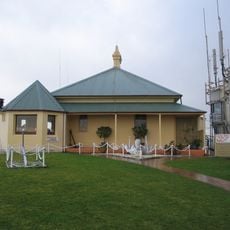
Nelson Head Light
24.4 km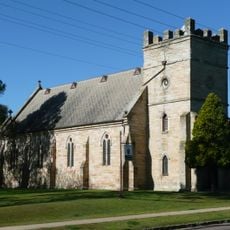
St James' Anglican Church, Morpeth
33.8 km
Little Beach
24.3 km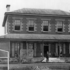
Tocal Homestead
33.5 km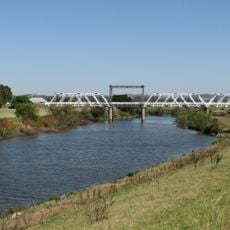
Dunmore Bridge
33.5 km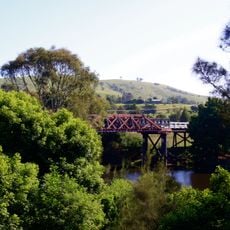
Clarence Town Bridge over Williams River
15.3 km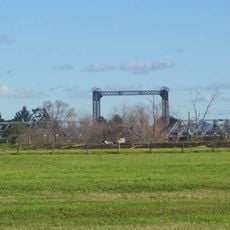
Hinton Bridge over Paterson River
31.2 km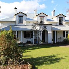
Stroud House
20.8 km
Cooreei Bridge over Williams River
27.2 km
St John the Evangelist Anglican Church, Stroud
20.5 km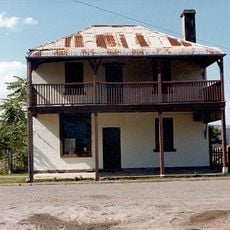
Royal Oak Arms Hotel
30.6 km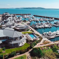
Port Stephens
20.8 km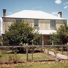
Gundayne House
12.8 km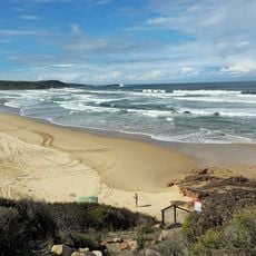
Samurai Beach
25.9 km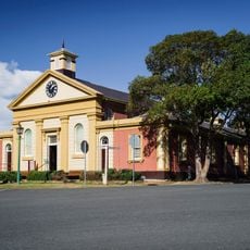
Morpeth Museum
33.5 km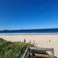
Box Beach
27.4 km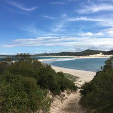
Fingal Spit
27.7 km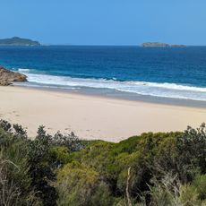
Wreck Beach
27 km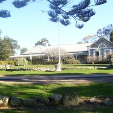
Tanilba House
15.5 km
One Mile Beach
26.3 kmReviews
Visited this place? Tap the stars to rate it and share your experience / photos with the community! Try now! You can cancel it anytime.
Discover hidden gems everywhere you go!
From secret cafés to breathtaking viewpoints, skip the crowded tourist spots and find places that match your style. Our app makes it easy with voice search, smart filtering, route optimization, and insider tips from travelers worldwide. Download now for the complete mobile experience.

A unique approach to discovering new places❞
— Le Figaro
All the places worth exploring❞
— France Info
A tailor-made excursion in just a few clicks❞
— 20 Minutes