
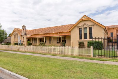
Maitland East Public School, public school in East Maitland
Location: East Maitland
Inception: 1858
Website: https://maitlande-p.schools.nsw.gov.au
Website: https://maitlande-p.schools.nsw.gov.au
GPS coordinates: -32.74900,151.58484
Latest update: April 3, 2025 06:36
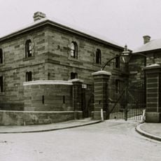
Maitland Gaol
657 m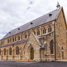
St Peter's Anglican Church
287 m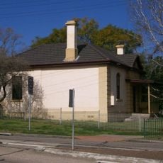
East Maitland Police Station
621 m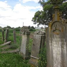
Maitland Jewish Cemetery
2.6 km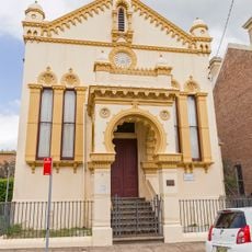
Maitland Lodge of Unity Masonic Hall and Lodge
2.7 km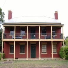
Englefield, East Maitland
805 m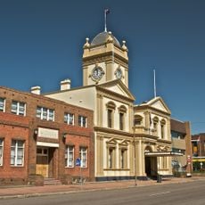
Maitland Town Hall
2.5 km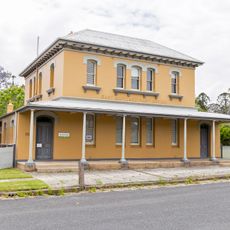
East Maitland Post Office
425 m
Oldholme
823 m
Maitland Regional Art Gallery
2.5 km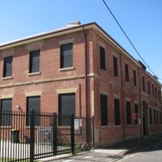
Presbyterian High School
2.8 km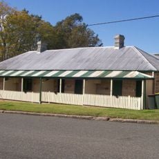
34-40 King Street, East Maitland
381 m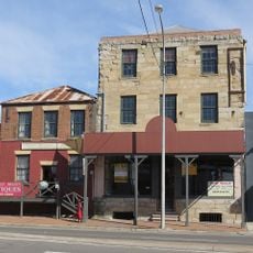
Smith's Flour Mill (former)
563 m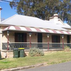
Goonoobah
354 m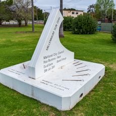
Millennium Sun Dial
3 km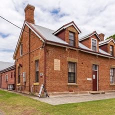
St. Peter's Parish Hall, East Maitland
266 m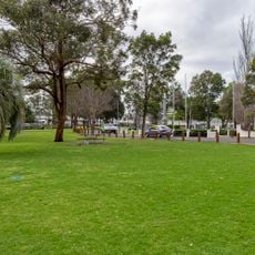
Maitland Park
2.9 km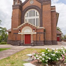
St Joseph's Catholic Church
153 m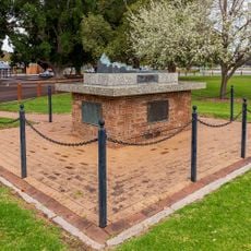
Maitland Sandakan Memorial
3 km
Lone Pine
3 km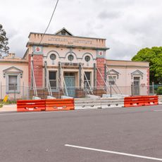
East Maitland Literary Institute
259 m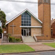
Wesley Uniting church, East Maitland
118 m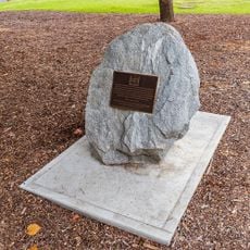
National Servicemen's Memorial
3 km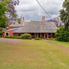
St. Peter's Rectory, East Maitland
233 m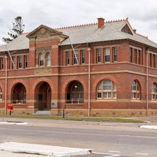
Lands Office, East Maitland
221 m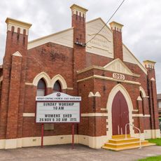
Methodist School Hall, East Maitland
118 m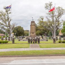
East Maitland War Memorial
101 m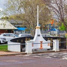
Maitland Boer War Memorial
2.9 kmReviews
Visited this place? Tap the stars to rate it and share your experience / photos with the community! Try now! You can cancel it anytime.
Discover hidden gems everywhere you go!
From secret cafés to breathtaking viewpoints, skip the crowded tourist spots and find places that match your style. Our app makes it easy with voice search, smart filtering, route optimization, and insider tips from travelers worldwide. Download now for the complete mobile experience.

A unique approach to discovering new places❞
— Le Figaro
All the places worth exploring❞
— France Info
A tailor-made excursion in just a few clicks❞
— 20 Minutes