
Dinoga, human settlement in Northern Tablelands, New South Wales, Australia
Location: Gwydir Shire Council
GPS coordinates: -29.98167,150.58444
Latest update: March 7, 2025 01:08
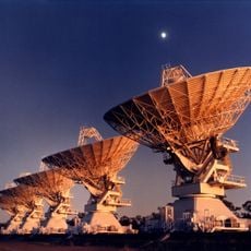
Australia Telescope Compact Array
106.2 km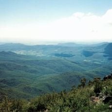
Mount Kaputar National Park
55.9 km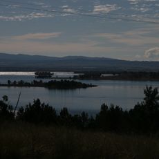
Keepit Dam
100.5 km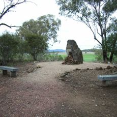
Myall Creek Massacre and Memorial Site
25.8 km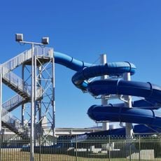
Moree Baths and Swimming Pool
91 km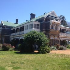
Saumarez Homestead
114.9 km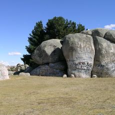
Captain Thunderbolt's Rock
116.5 km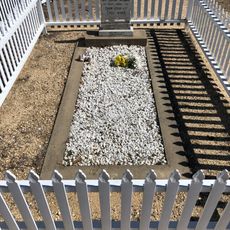
Captain Thunderbolt's Grave
114.1 km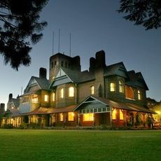
Booloominbah
116.5 km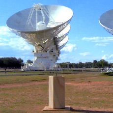
Paul Wild Observatory
105.1 km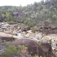
Kwiambal National Park
104.4 km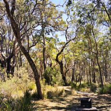
Kings Plains National Park
87.1 km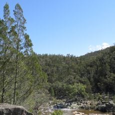
Warrabah National Park
72.5 km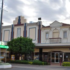
Roxy Theatre and Peters Greek Cafe Complex
12.6 km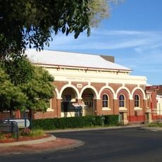
Narrabri Post Office and former Telegraph Office
86.1 km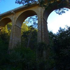
Manilla railway underbridges
74.5 km
Inverell Post Office
55.9 km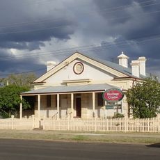
Narrabri Gaol and Residence
86 km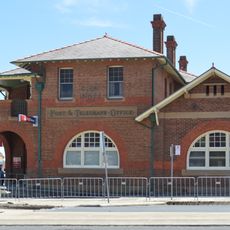
Glen Innes Post and Telegraph Office
114.5 km
National Transport Museum
56.4 km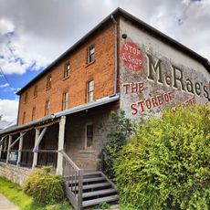
McCrossin's Mill
114.7 km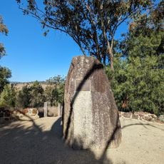
Myall Creek Memorial Site
25.5 km
Armidale Golf Club
117.3 km
Wing Hing Long Museum
60.5 km
Gunnedah Rural Museum
116.2 km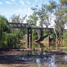
Cohens Bridge
114.7 km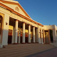
Moree Library
92.2 km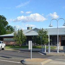
Wee Waa Library
113 kmReviews
Visited this place? Tap the stars to rate it and share your experience / photos with the community! Try now! You can cancel it anytime.
Discover hidden gems everywhere you go!
From secret cafés to breathtaking viewpoints, skip the crowded tourist spots and find places that match your style. Our app makes it easy with voice search, smart filtering, route optimization, and insider tips from travelers worldwide. Download now for the complete mobile experience.

A unique approach to discovering new places❞
— Le Figaro
All the places worth exploring❞
— France Info
A tailor-made excursion in just a few clicks❞
— 20 Minutes