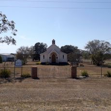
Dalby, Administrative center in Western Downs Region, Queensland, Australia
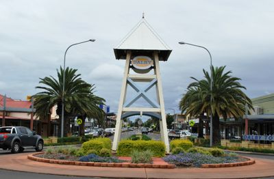
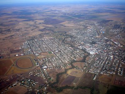
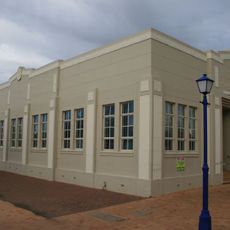
Dalby is an administrative center and township within Western Downs Region in Queensland, covering wide rural areas and several smaller settlements. The council operates from a two-story building on Marble Street, surrounded by office complexes and public facilities.
The region formed in March 2008 by merging five local government areas, including the former Town of Dalby. The consolidation brought together rural communities under a shared administrative structure.
The town takes its name from the English village of Dalby in Leicestershire, reflecting early settler origins. Locals today gather at the council offices on Marble Street for community matters and regional services.
The council office welcomes visitors on weekdays between 8 AM and 5 PM for inquiries about permits, infrastructure, or local services. A single phone line connects residents across the region with administrative departments.
The region operates several public libraries in townships like Bell, Chinchilla, and the main center, serving as community hubs for education and reading programs. The spread of branches brings educational resources to remote communities.
Location: Western Downs Region
Location: Queensland
Elevation above the sea: 343 m
Shares border with: Ranges Bridge, Macalister, Kaimkillenbun, St Ruth, Bowenville, Blaxland, Irvingdale, Nandi, Pirrinuan
Website: http://dalby.info/html/profile.asp
GPS coordinates: -27.18333,151.26667
Latest update: December 17, 2025 07:31
Jimbour House
24.9 km
Jondaryan Woolshed
38.2 km
Dalby Olympic Swimming Pool
113 m
Dalby State High School
1 km
St Columba's Convent, Dalby
682 m
Jondaryan Homestead
38.2 km
St John's Anglican Church, Dalby
371 m
Dalby Fire Station
393 m
Jimbour Dry Stone Wall
26.1 km
Dalby War Memorial and Gates
115 m
St Annes Anglican Church, Jondaryan
38.4 km
Dalby Town Council Chambers and Offices
225 m
Pioneer Park Museum
2.2 kmLake Broadwater Conservation Park
25.1 kmJimbour Station
24.8 kmKommamurra Grain Silos
11.9 kmHistoric Tractor
25 kmWarra Railway Station
44.6 kmGraz Art Gallery
219 mScenic viewpoint
3.3 kmDalby War Memorial and Gates
122 mJoshua Thomas Bell
434 mMonument
37.7 kmDRC Works Depot
1.8 kmThe Crossing
819 mCanberra Bomber
36 kmWarra Station
44.5 kmJimbour Community Rest Area
24.9 kmVisited this place? Tap the stars to rate it and share your experience / photos with the community! Try now! You can cancel it anytime.
Discover hidden gems everywhere you go!
From secret cafés to breathtaking viewpoints, skip the crowded tourist spots and find places that match your style. Our app makes it easy with voice search, smart filtering, route optimization, and insider tips from travelers worldwide. Download now for the complete mobile experience.
A unique approach to discovering new places❞
— Le Figaro
All the places worth exploring❞
— France Info
A tailor-made excursion in just a few clicks❞
— 20 Minutes