
Pittsworth, town in Queensland, Australia
Location: Toowoomba Regional
GPS coordinates: -27.71993,151.63447
Latest update: April 17, 2025 11:11
Toowoomba Hospital
34.7 km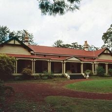
Gabbinbar homestead
34.3 km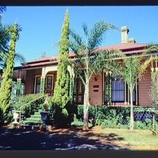
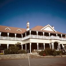
Ascot House
34.2 km
Drayton and Toowoomba Cemetery
32.3 km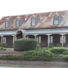
Royal Bull's Head Inn
30.6 km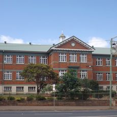
Toowoomba South State School
35.6 km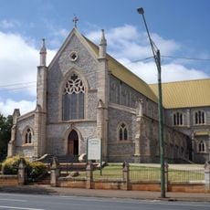
St Patricks Cathedral, Toowoomba
35.7 km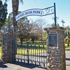
Laurel Bank Park
35.2 km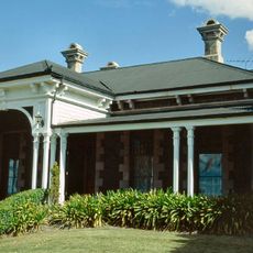
Smithfield House
32.7 km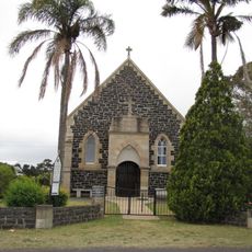
St Matthew's Anglican Church, Drayton
30.5 km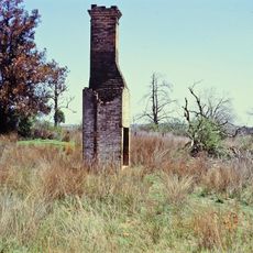
Eton Vale Homestead Ruins
27.4 km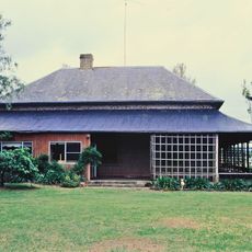
Westbrook Homestead
20.6 km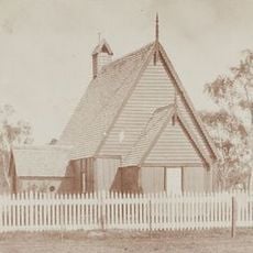
All Saints Anglican Church, Yandilla
30.5 km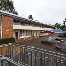
Harristown State High School Buildings
33.6 km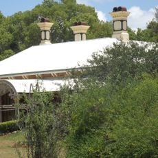
Weetwood, Toowoomba
34.1 km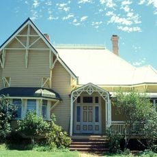
Oak Lodge and Spreydon
35.2 km
DownsSteam Tourist Railway & Museum
31.2 km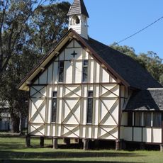
St Augustines Anglican Church, Leyburn
32.5 km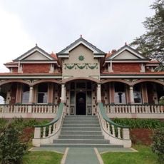
Harris House, Toowoomba
35.6 km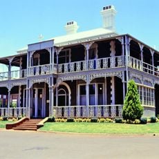
Concordia College Administration Centre
33.5 km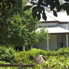
Tor, Toowoomba
34.1 km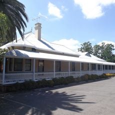
Kensington, Toowoomba
35.6 km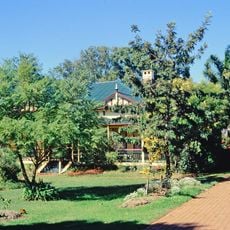
Elphin, Newtown
35.1 km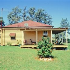
O'Shea's Drayton Cottage
29.8 km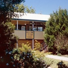
Leyburn State School
33.1 km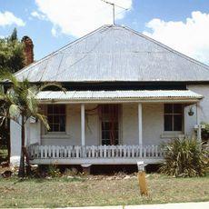
Cottage
34.6 km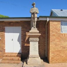
Westbrook War Memorial
26 km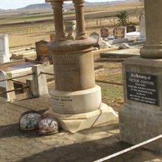
Victor Denton War Memorial
29.5 kmReviews
Visited this place? Tap the stars to rate it and share your experience / photos with the community! Try now! You can cancel it anytime.
Discover hidden gems everywhere you go!
From secret cafés to breathtaking viewpoints, skip the crowded tourist spots and find places that match your style. Our app makes it easy with voice search, smart filtering, route optimization, and insider tips from travelers worldwide. Download now for the complete mobile experience.

A unique approach to discovering new places❞
— Le Figaro
All the places worth exploring❞
— France Info
A tailor-made excursion in just a few clicks❞
— 20 Minutes