
Lake Clarendon, dam in Australia
Location: Queensland
Elevation above the sea: 85 m
GPS coordinates: -27.51510,152.35100
Latest update: May 23, 2025 14:33
University of Queensland Gatton Campus
4.4 km
Ravensbourne National Park
22.2 km
Lockyer National Park
10.9 km
Corduroy Road Remains
14.9 km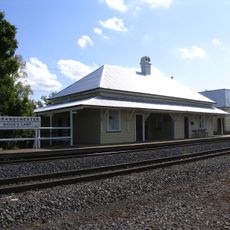
Grandchester railway station
20 km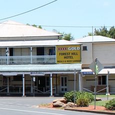
Forest Hill Hotel
8.3 km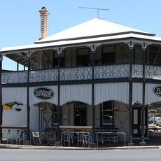
Lockyer Hotel
8.3 km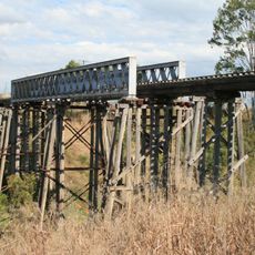
Lockyer Creek Railway Bridge
20.7 km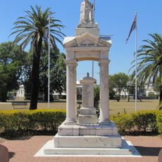
Weeping Mother Memorial
8.3 km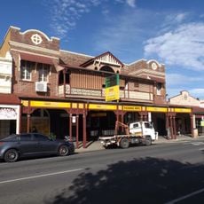
Exchange Hotel, Laidley
13.5 km
Gatton National Park
11.2 km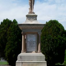
Boer War Memorial, Gatton
8.5 km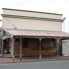
Queensland National Bank, Forest Hill
8.3 km
Grantuly
8.4 km
Royal Bank of Queensland, Lowood
23.5 km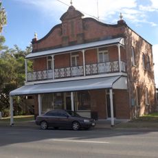
Whitehouse's Bakery
13.7 km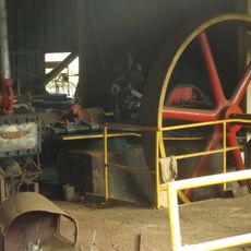
Grandchester Sawmills
19.8 km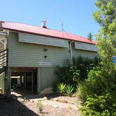
Prenzlau State School
17.2 km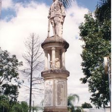
Forest Hill War Memorial
8.2 km
Forest Hill State School
8.5 km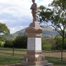
Ma Ma Creek War Memorial
20.4 km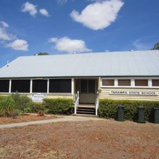
Tarampa State School
19.5 km
Bank of New South Wales, Helidon
22.8 km
Tallegalla State School
22.8 km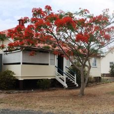
Lake Clarendon State School
1.1 km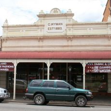
G Wyman Building, Laidley
13.5 km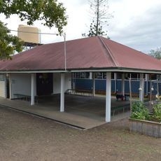
Blenheim State School
15.2 km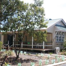
Mount Tarampa State School
15.2 kmReviews
Visited this place? Tap the stars to rate it and share your experience / photos with the community! Try now! You can cancel it anytime.
Discover hidden gems everywhere you go!
From secret cafés to breathtaking viewpoints, skip the crowded tourist spots and find places that match your style. Our app makes it easy with voice search, smart filtering, route optimization, and insider tips from travelers worldwide. Download now for the complete mobile experience.

A unique approach to discovering new places❞
— Le Figaro
All the places worth exploring❞
— France Info
A tailor-made excursion in just a few clicks❞
— 20 Minutes