Gatton National Park, National park in Lockyer Valley Region, Queensland, Australia.
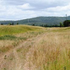
Gatton National Park is a protected area in the Lockyer Valley Region of Southeast Queensland. The land covers about 426 hectares with varied terrain and elevations rising to approximately 176 meters above sea level.
The park was established as a protected area in 2006 as part of Queensland's efforts to expand its network of nature reserves. This designation reflected growing interest in conserving these landscapes for the long term.
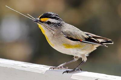
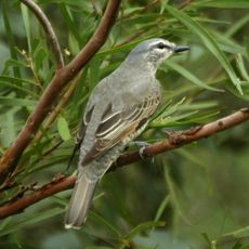
The park sits on country that belonged to the Yuggera people, whose connection to this land runs deep in time. Walking through these areas today, you can sense how the landscape shaped Aboriginal life and continues to hold meaning for the community.
The area is open to visitors, but you should watch for safety notices, especially on Saturdays when the Gatton Glenore Grove Rifle Club operates its shooting range. It helps to check conditions before visiting and be aware of any access restrictions.
The park plays an important role in the Lockyer Creek catchment system and helps support the region's water supply. This function connects the protection of the land directly to the needs of local communities that depend on these water resources.
Location: Queensland
Inception: 2006
Elevation above the sea: 176 m
GPS coordinates: -27.60581,152.30176
Latest update: December 14, 2025 18:44
University of Queensland Gatton Campus
6.9 km
Lockyer National Park
16.5 km
Corduroy Road Remains
8.7 km
Grandchester railway station
17.4 km
Forest Hill Hotel
5.7 km
Lockyer Hotel
5.8 km
Lockyer Creek Railway Bridge
25.1 km
Lockyer Creek Railway Bridge
23.2 km
Franklyn Vale Homestead
22.9 km
Weeping Mother Memorial
6.2 km
Exchange Hotel, Laidley
9.5 km
Boer War Memorial, Gatton
6.2 km
Queensland National Bank, Forest Hill
5.7 km
Grantuly
18.1 km
Whitehouse's Bakery
9.5 km
Grandchester Sawmills
17.5 km
Prenzlau State School
23.3 km
Forest Hill War Memorial
5.8 km
Forest Hill State School
5.5 km
Ma Ma Creek War Memorial
11.3 km
Tarampa State School
27.5 km
Bank of New South Wales, Helidon
18.7 km
Tallegalla State School
25.9 km
Lake Clarendon State School
10.9 km
G Wyman Building, Laidley
9.5 km
Blenheim State School
5.8 km
Mount Tarampa State School
25 km
Queensland Transport Museum
5.1 kmVisited this place? Tap the stars to rate it and share your experience / photos with the community! Try now! You can cancel it anytime.
Discover hidden gems everywhere you go!
From secret cafés to breathtaking viewpoints, skip the crowded tourist spots and find places that match your style. Our app makes it easy with voice search, smart filtering, route optimization, and insider tips from travelers worldwide. Download now for the complete mobile experience.
A unique approach to discovering new places❞
— Le Figaro
All the places worth exploring❞
— France Info
A tailor-made excursion in just a few clicks❞
— 20 Minutes