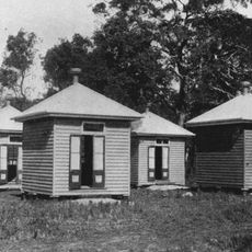
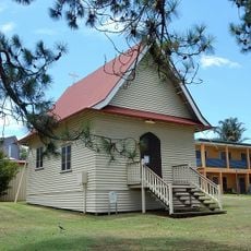
Coochiemudlo Island, Residential island in Moreton Bay, Australia
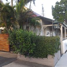
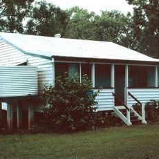
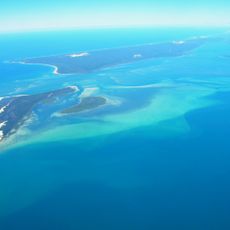
Coochiemudlo Island is a residential island in southern Moreton Bay near Brisbane with sandy beaches on three sides and mangrove swamps along the western shore. The entire island is ringed by native bushland that visitors can explore along walking trails.
Matthew Flinders charted this island in 1799 during his exploration of Moreton Bay and contributed to early surveys of the Australian coast. The island was later settled and developed into a stable residential community.
The name originates from Yuggera Aboriginal language, combining kutchi and mudlo words to reference the red stones found in the area.
The island is only accessible by ferry service from Victoria Point, which runs every thirty minutes, as there is no road link to the mainland. Visitors should plan their transportation and parking at the mainland terminal before boarding.
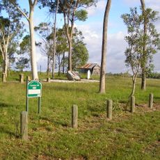
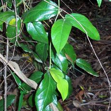
The island is surrounded by a protected bushland border known as the Emerald Fringe, recognized by Redland City Council for its conservation value. This green boundary circles the entire shoreline and remains visible to visitors exploring the island.
The community of curious travelers
AroundUs brings together thousands of curated places, local tips, and hidden gems, enriched daily by 60,000 contributors worldwide.