Redland City, Local government area in Greater Brisbane, Australia
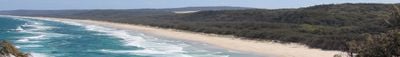
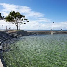
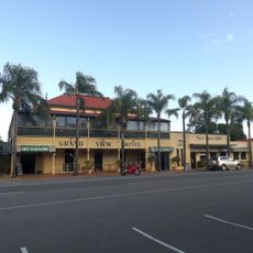
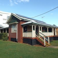
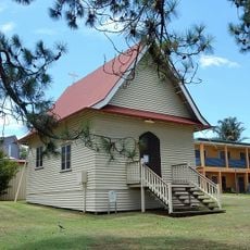
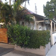
Redland City is an administrative region southeast of Brisbane that stretches along the coast and includes both mainland and several islands. The area offers different landscapes with forests, bays, and beaches threaded through by smaller villages and suburbs.
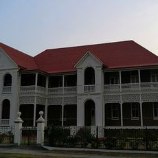
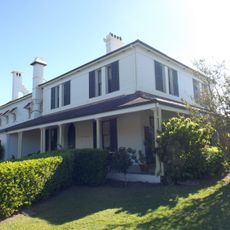
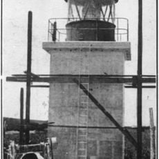
The area came together in 1949 from the merger of two older local government areas and gained city status in 2008. This development reflects the region's growth and its increasing administrative importance to greater Brisbane.
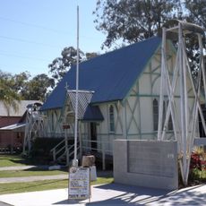
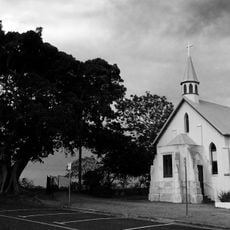
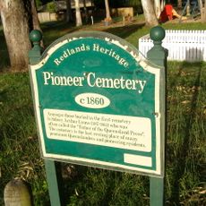
The Quandamooka people have a deep connection to the offshore islands and shape the region through their community initiatives. Visitors can see the importance of this heritage in local artworks and places that matter to the community.
Multiple suburban and regional bus routes connect different parts of the area to each other and to Brisbane. The islands are reachable by ferries, which are best checked before visiting to understand the available routes.
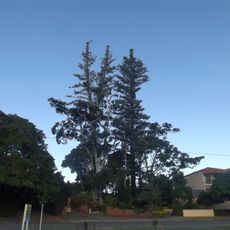
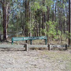
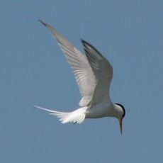
The region is home to over 1,700 native species and is known for a particularly large koala population. This species diversity makes the coastal landscape and islands an important site for nature conservation in Queensland.
Location: Queensland
Capital city: Cleveland
Elevation above the sea: 37 m
Website: http://redland.qld.gov.au
GPS coordinates: -27.59329,153.26642
Latest update: December 20, 2025 11:44
Photo license: CC BY-SA 4.0
St Helena Island National Park
22.5 km
Peel Island
13.3 kmYatala Pie Shop
16.3 km
Cleveland Point Light
9.5 km
Wynnum Wading Pool
19 km
Norfolk Island Pine Trees, Cleveland
8.3 km
Venman Bushland National Park
8 km
Whepstead, Wellington Point
10.9 km
Grand View Hotel
8.1 km
Beenleigh Rum Distillery
15.2 km
Ormiston House Estate
10.8 km
Fachwerk Farmhouse
10.3 km
St George's Anglican Church, Beenleigh
15.4 km
St Pauls Anglican Church, Cleveland
7.9 km
Mount Carmel Convent
18.6 km
Lota House
16.4 km
Old Cleveland Police Station
7.6 kmRedland Museum
6.6 km
St Mark's Anglican Church and Dunwich Public Hall
17.1 km
St Andrews Church, Ormiston
10.1 km
Dunwich Cemetery
17.5 km
Naree Budjong Djara National Park
18.4 km
Old Carbrook State School
9.9 km
Cleveland Hotel
8.2 km
Wynnum Ambulance Station
18.5 km
Point Lookout Light
32.5 km
Old Cleveland Court House
8.6 km
Cleveland Pioneer Cemetery
7.3 kmVisited this place? Tap the stars to rate it and share your experience / photos with the community! Try now! You can cancel it anytime.
Discover hidden gems everywhere you go!
From secret cafés to breathtaking viewpoints, skip the crowded tourist spots and find places that match your style. Our app makes it easy with voice search, smart filtering, route optimization, and insider tips from travelers worldwide. Download now for the complete mobile experience.
A unique approach to discovering new places❞
— Le Figaro
All the places worth exploring❞
— France Info
A tailor-made excursion in just a few clicks❞
— 20 Minutes