Enable Location

We need your location to show you interesting places around you

Discover nearby places

Find interesting locations and hidden gems around you

Precise directions

Get accurate directions and distances to places

Your location is never shared with other users. It's only used when you tap the location button.

Maryborough

Log in to your account

Start exploring — it's free

Trusted by 62,370 travelers worldwide

Continue with Google
Continue with Apple
or

We will send you a code to connect

By continuing, you accept our Terms and Conditions and our Privacy Policy

Check your inbox

We've sent a pincode in your inbox. Please enter the code below.

Maryborough

Maryborough, Administrative division in Fraser Coast Region, Australia.

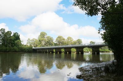
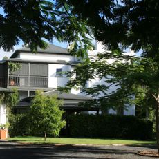
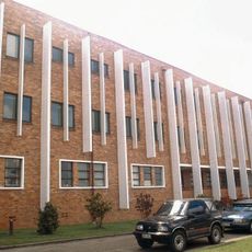
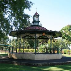
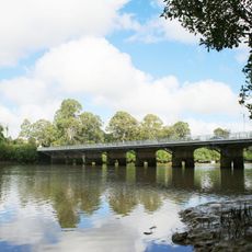
Maryborough is a town along the Mary River in Fraser Coast Regional Council, about 255 kilometers (158 miles) north of Brisbane. The town spreads along the riverbank, with residential neighborhoods, shops, and administrative buildings covering several square kilometers.

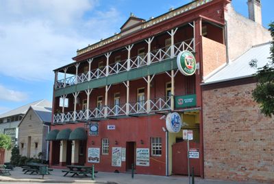
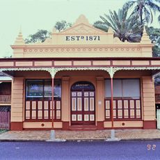
The settlement began in 1847 when George Furber set up a wool depot on the riverbank. Five years later, official land sales started and the town grew into a port for immigrants from Europe.

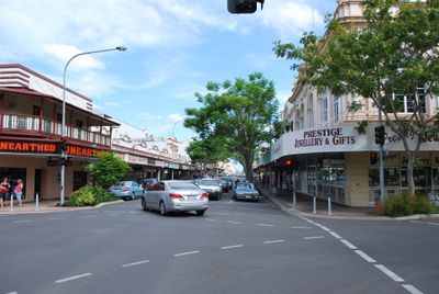
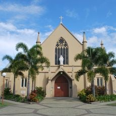
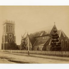
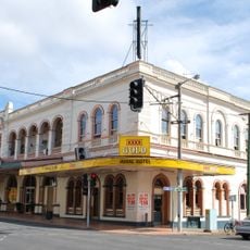
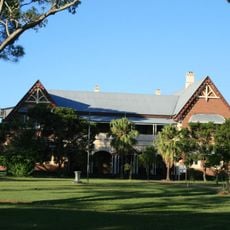
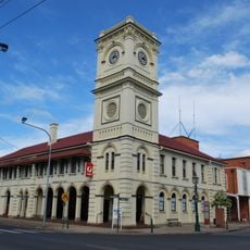
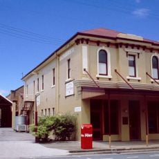
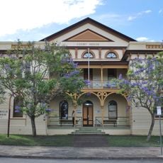
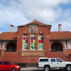
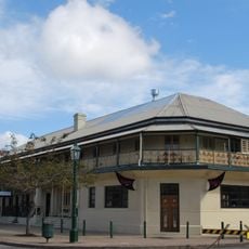
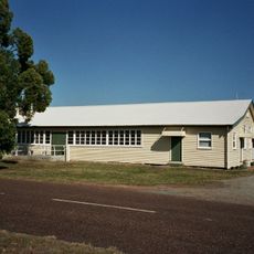
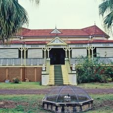
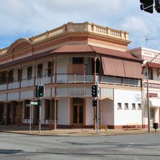
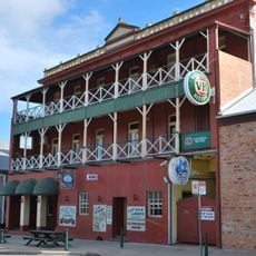
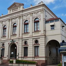
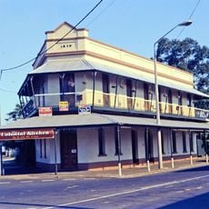
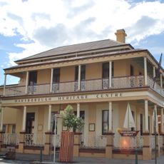
The river shapes the town layout, and locals use its banks for walking and fishing. Brick buildings from the 19th century line the main streets, reflecting the era when ships from Europe docked here.

The Bruce Highway runs directly through the region and connects the town with Brisbane to the south and Rockhampton to the north. Local bus services run regularly within the town and to surrounding Fraser Coast communities.

The Mary River turtle lives only in the waters of this river and is sometimes called the punk turtle because of its algae hairstyle. Divers and snorkelers occasionally spot them in calmer river sections.

The community of curious travelers

AroundUs brings together thousands of curated places, local tips, and hidden gems, enriched daily by 60,000 contributors worldwide.

Start exploring
Location
Inception
1847
Elevation above the sea
11 m
Shares border with
Tinana, Granville, Maryborough West, Island Plantation, Aldershot, St Helens, Bidwill
GPS coordinates
-25.53750,152.70194
Latest update
December 13, 2025 20:00
« Maryborough - Administrative division in Fraser Coast Region, Australia » is provided by Around Us (aroundus.com). Images and texts are derived from Wikimedia project under a Creative Commons license. You are allowed to copy, distribute, and modify copies of this page, under the conditions set by the license, as long as this note is clearly visible.

Discover hidden gems everywhere you go!

From secret cafés to breathtaking viewpoints, skip the crowded tourist spots and find places that match your style. Our app makes it easy with voice search, smart filtering, route optimization, and insider tips from travelers worldwide. Download now for the complete mobile experience.

Around Us App Screenshot

A unique approach to discovering new places

Le Figaro

All the places worth exploring

France Info

A tailor-made excursion in just a few clicks

20 Minutes

Around Us
Travel Guide & Maps
Download

Send to your phone

QR Code
1

Open the camera app on your mobile.

2

Point at the QR code with your camera. A notification will appear.

3

Tap the notification to open the link.