Paluma Range National Park, Nature reserve in Queensland, Australia
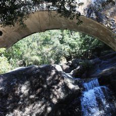
Paluma Range National Park is a nature reserve in northern Queensland featuring dense rainforest and diverse habitats across its protected area. The landscape ranges from Mount Spec to the Jourama Falls, offering multiple walking trails and viewpoints for exploration.
Paluma Range and the small town of Paluma are named after HMS Paluma, a Queensland government survey vessel that charted the northern Queensland coast in the 1880s and 1890s. Tin was discovered in the area in 1875, and the town, first known as Cloudy Clearing, grew with mining that peaked in 1905. Logging of high-quality timbers took place from the early 1930s to the mid-1970s. During World War II, the U.S. Army used Mount Spec as a radar station, warning Townsville of an air raid in July 1942; the station closed in 1945.
Indigenous peoples have long used this land for hunting and gathering, leaving traces of their presence throughout the region. Their connections to these forests remain visible in how the landscape has been shaped and maintained over generations.
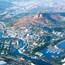
The park is easily accessible within an hour's drive north of Townsville and features multiple walking trails with varying difficulty levels and picnic areas. Visit during the dry season for the easiest walking conditions and clearest views through the forest.
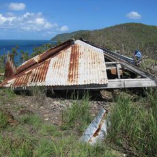
Mount Spec, at almost 1,000 metres, held a U.S. Army radar station during the Second World War; in July 1942 it gave Townsville warning of an air raid, and the station closed in 1945. Tin was found near Paluma in 1875, and mining peaked in 1905 before high transport costs ended it; remains of that era survive in the park.
The community of curious travelers
AroundUs brings together thousands of curated places, local tips, and hidden gems, enriched daily by 94,043 contributors worldwide.