Enable Location

We need your location to show you interesting places around you

Discover nearby places

Find interesting locations and hidden gems around you

Precise directions

Get accurate directions and distances to places

Your location is never shared with other users. It's only used when you tap the location button.

Log in to your account

Start exploring — it's free

Trusted by 69,092 travelers worldwide

Continue with Google
Continue with Apple
or

We will send you a code to connect

By continuing, you accept our Terms and Conditions and our Privacy Policy

Check your inbox

We've sent a pincode in your inbox. Please enter the code below.

Pic Nga
Discussion Reviews Photo
60+ Popularity

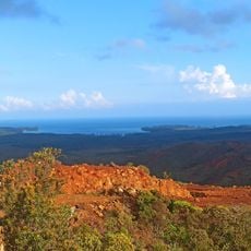
Pic Nga, Mountain summit in Isle of Pines, New Caledonia.

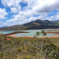
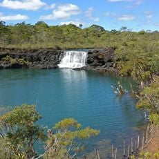
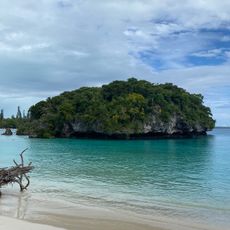
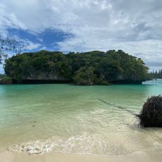
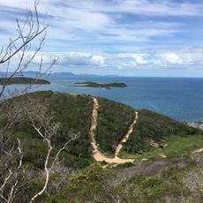
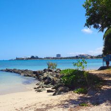
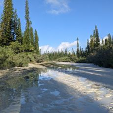
Pic Nga is a mountain on the Isle of Pines that rises 110 meters above sea level and offers views across Kuto Bay and the surrounding New Caledonian waters. The summit is reached by a moderate hiking trail starting near Kanumera Beach that takes approximately two to three hours to complete.

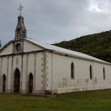
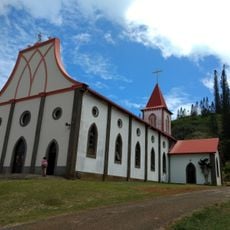
The mountain was documented in the 19th century by Reverend Father Lambert, a Marist missionary, who created detailed drawings published in Les Missions Catholiques in 1893. These early cartographic records made the site known to external observers during the region's exploration phase.

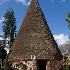
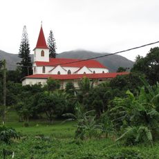
The mountain holds meaning for the Kanak people of the Isle of Pines, who have inhabited these islands for generations and maintain deep connections to the land. Missionary activity shaped how outsiders perceived and documented this place during the colonial period.

The trail to the summit is moderately challenging and requires basic fitness and proper footwear for uneven forest paths. The best time to hike is early morning to avoid the heat and humidity of midday hours.

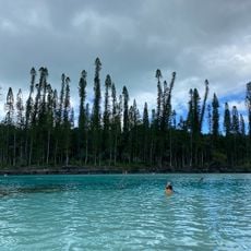
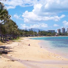
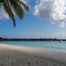
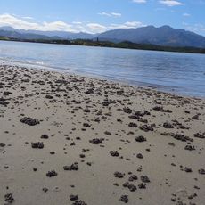
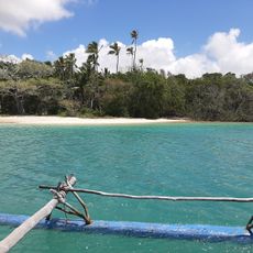
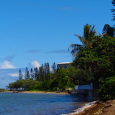
The waters around the island are subject to special protections that restrict motorized vessels in certain areas, allowing only traditional pirogue boats to navigate. This preserves the quiet character of the coastline and offers a glimpse into traditional navigation practices used for centuries in the region.

The community of curious travelers

AroundUs brings together thousands of curated places, local tips, and hidden gems, enriched daily by 60,000 contributors worldwide.

Start exploring
Location
Elevation above the sea
110 m
GPS coordinates
-22.65250,167.46330
Latest update
December 15, 2025 13:28
Reviews
Share your experience

No review yet

Discussions
Start a discussion...

No discussion yet

« Pic Nga - Mountain summit in Isle of Pines, New Caledonia » is provided by Around Us (aroundus.com). Images and texts are derived from Wikimedia project under a Creative Commons license. You are allowed to copy, distribute, and modify copies of this page, under the conditions set by the license, as long as this note is clearly visible.

Discover hidden gems everywhere you go!

From secret cafés to breathtaking viewpoints, skip the crowded tourist spots and find places that match your style. Our app makes it easy with voice search, smart filtering, route optimization, and insider tips from travelers worldwide. Download now for the complete mobile experience.

Around Us App Screenshot

A unique approach to discovering new places

Le Figaro

All the places worth exploring

France Info

A tailor-made excursion in just a few clicks

20 Minutes

Around Us
Travel Guide & Maps
Download

Send to your phone

QR Code
1

Open the camera app on your mobile.

2

Point at the QR code with your camera. A notification will appear.

3

Tap the notification to open the link.