Macalister Range National Park, Nature reserve in Cairns Regional, Australia.
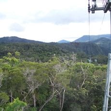
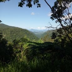
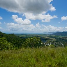
Macalister Range National Park is a 5,563-hectare protected area in Far North Queensland, about 25 km north of Cairns and 25 km south of Port Douglas. It protects a rugged, forested landscape along the coast, named after the Macalister Range, and borders Kuranda and Mowbray national parks to the west. Mount Charlie, at 880 m the park's highest point, sits on the Great Dividing Range watershed, which here comes closest to the coast along its entire length.
The national park was established in 2010, covering 5,563 hectares of cassowary habitat. It lies within the Wet Tropics of Queensland, listed as UNESCO World Heritage since 1988 for its natural beauty, species diversity and evolutionary history. The park takes its name from the Macalister Range, the coastal mountain chain it protects.
The park lies in the country of the Djabugay-speaking peoples of the Cairns region, and its name comes from the Macalister Range, the coastal ridge it protects. The German source gives no account of local Aboriginal language or traditions inside the park, so visitors should treat the landscape as uninterpreted country rather than a site with marked cultural features.
The park is undeveloped: there are no facilities and no roads, so access is on foot only. It lies about 25 km north of Cairns and 25 km south of Port Douglas, with the Kuranda and Mowbray national parks directly to the west. Plan for a self-sufficient visit, since nothing is provided inside the boundaries.
Mount Charlie, at 880 metres the park's highest point, sits on the Great Dividing Range watershed, which here comes closer to the coast than anywhere else along its length. The park was gazetted in 2010 over 5,563 hectares, chiefly to protect endangered southern cassowary habitat.
The community of curious travelers
AroundUs brings together thousands of curated places, local tips, and hidden gems, enriched daily by 93,486 contributors worldwide.