Fomano, Summit in New Caledonia, France
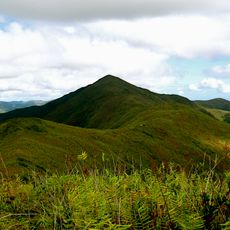
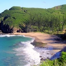
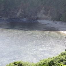
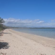
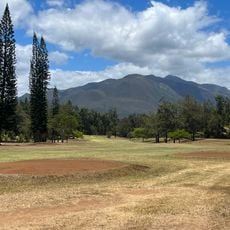
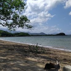
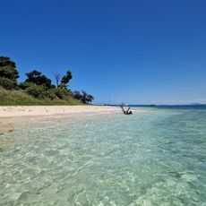
Fomano is a summit in New Caledonia located at latitude -21.716667 and longitude 165.883333, rising about 130 meters above sea level. The peak overlooks the island landscape and is surrounded by tropical vegetation that covers the slopes and nearby areas.
The summit became a known reference point for local people, especially when the island was systematically mapped during colonial-era expeditions in the 1800s and early 1900s. Its regional importance grew as the peak was included on geographical records and navigation charts.
Local Kanak communities view this summit as part of their connection to the land and reference it in their oral traditions as a way to understand their surroundings. The mountain serves as a landmark that helps people navigate and remember stories tied to the landscape.
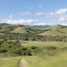
Visitors can reach the summit by established hiking trails that are accessible year-round, though April through November offers the driest conditions for comfortable walking. Bring sturdy footwear and plenty of water, as tropical weather can change quickly and the vegetation is thick along the paths.
The peak is an important observation point for endemic bird species found nowhere else in the world, which nest and hide in the surrounding vegetation. Depending on the season, visitors may spot different species as they move through the shrubs and trees around the summit.
The community of curious travelers
AroundUs brings together thousands of curated places, local tips, and hidden gems, enriched daily by 60,000 contributors worldwide.