Dokanyo, Mountain summit in New Caledonia, France
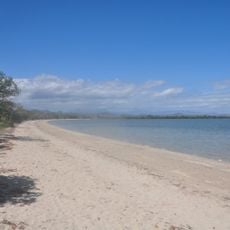
Dokanyo is a mountain summit on the Pacific island territory of New Caledonia rising to about 65 meters above sea level. The location commands views across the surrounding landscape, revealing the tropical vegetation and terrain that characterizes this French overseas region.
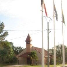
New Caledonia, the territory where this summit lies, came under French control in the 19th century and has shaped the island's path since then. These geographic features have witnessed the transitions that transformed the archipelago and continue to anchor the identity of its inhabitants.
The summit sits within the landscape that holds deep meaning for the Kanak people and their connection to ancestral lands. Local communities continue to move through and relate to these highlands as part of their daily environment.
The ascent follows established hiking paths across the terrain and is accessible to those with basic fitness levels. Visitors should bring plenty of water, sun protection, and appropriate clothing suited to tropical weather conditions.
The summit functions as a geographic reference point for surveying and mapping of the French overseas region. This practical role makes it an important anchor for accurately documenting the island's physical geography.
The community of curious travelers
AroundUs brings together thousands of curated places, local tips, and hidden gems, enriched daily by 60,000 contributors worldwide.