Mount Cook National Park, National park in Cooktown, Australia
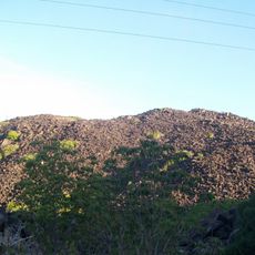
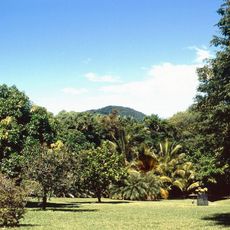
Mount Cook National Park is a roughly 5-square-kilometre protected area immediately south of Cooktown, between the Mulligan Highway and the coast of the Coral Sea. Its highest point, Mount Cook (also called Gore Mount), rises 431 metres above sea level in the park's east. Tropical rainforest and tropical woodland with a heath understorey cover the upper slopes and creek lines, while grassland grows on the southern slopes.
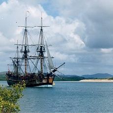
Lieutenant James Cook named the peak Gores Mount in 1770 after his third lieutenant, John Gore. Unaware of this, Lieutenant Phillip Parker King renamed it Mount Cook in June 1819 while surveying northern Australia. The earlier name Gores Mount later fell out of use.
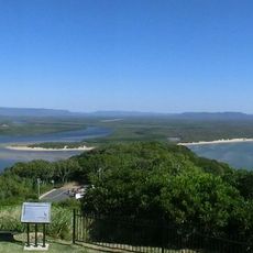
The name reflects the explorer who honored the peak in the early 19th century, becoming part of the region's colonial history. Today, visitors experience how the ridge defines the local landscape and frames views across Endeavour Valley and the coastal plains below.
The only route into the park is a difficult six-kilometre return walking track to the summit of Mount Cook; there are no roads or visitor facilities inside the park. The park lies between the Mulligan Highway and the coast, three kilometres south of Cooktown. Carry water and supplies, since nothing is provided along the way.
The elevation creates distinct weather patterns that differ from surrounding lowlands, shaping which plants and animals thrive at different heights. These microclimatic conditions allow visitors to observe how ecosystems adapt across just a few hundred meters of vertical change.
The community of curious travelers
AroundUs brings together thousands of curated places, local tips, and hidden gems, enriched daily by 92,633 contributors worldwide.