East Molokai Volcano, Shield volcano in Maui County and Kalawao County, Hawaii, United States
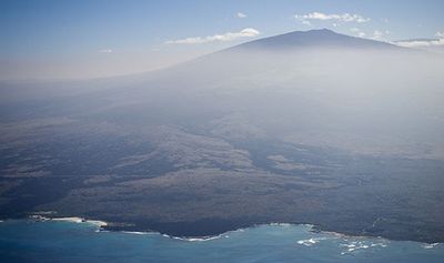
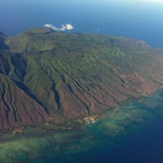
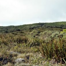
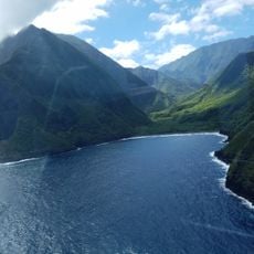
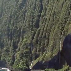
East Molokaʻi Volcano is an extinct shield volcano forming the eastern two-thirds of Molokaʻi, 70 km wide and 150 km long. Its northern flank ends in sea cliffs 900 m high, cut when the northern third of the mountain slid into the sea. The summit, Kamakou, rises on the southern rim, with the Pēpēʻōpae bog just below it.
The volcano began forming about two million years ago and finished its active phase about one and a half million years ago. Its most recent volcanic activity occurred on the Kalaupapa Peninsula.
The volcano's name Wailau comes from the Wailau valley on its north side, and the mountain is one of the seven principal volcanoes that formed the ancient island of Maui Nui, alongside West Molokaʻi, Lānaʻi, West Maui, East Maui, Penguin Bank and Kahoʻolawe. The northern cliffs, rising 900 m from the sea, are a landmark of the eastern two-thirds of Molokaʻi.
The volcano lies in Maui and Kalawao counties; Kalawao County, which covers the Kalaupapa Peninsula, is reached only by a steep trail down the sea cliffs, by air, or by boat, and visitors there must arrange access in advance. The summit area around Kamakou and the Pēpēʻōpae bog is high and often cloud-covered, so plan for wet, cool conditions.
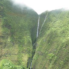
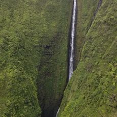
The north side of the volcano features cliffs over 900 meters high created by a massive landslide. This ancient event was powerful enough to generate a wave that traveled across the ocean from Hawaii to California.
The community of curious travelers
AroundUs brings together thousands of curated places, local tips, and hidden gems, enriched daily by 93,950 contributors worldwide.