Enable Location

We need your location to show you interesting places around you

Discover nearby places

Find interesting locations and hidden gems around you

Precise directions

Get accurate directions and distances to places

Your location is never shared with other users. It's only used when you tap the location button.

Maui County

Log in to your account

Start exploring — it's free

Trusted by 62,968 travelers worldwide

Continue with Google
Continue with Apple
or

We will send you a code to connect

By continuing, you accept our Terms and Conditions and our Privacy Policy

Check your inbox

We've sent a pincode in your inbox. Please enter the code below.

Discussion Reviews 4 Photos
50.9k Popularity

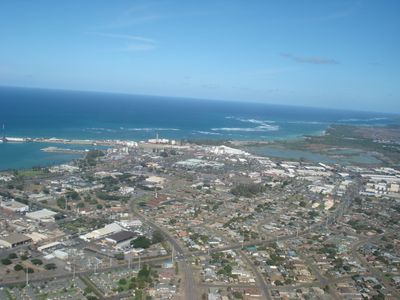
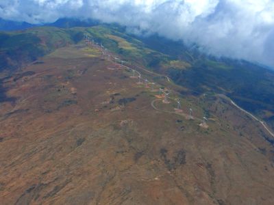
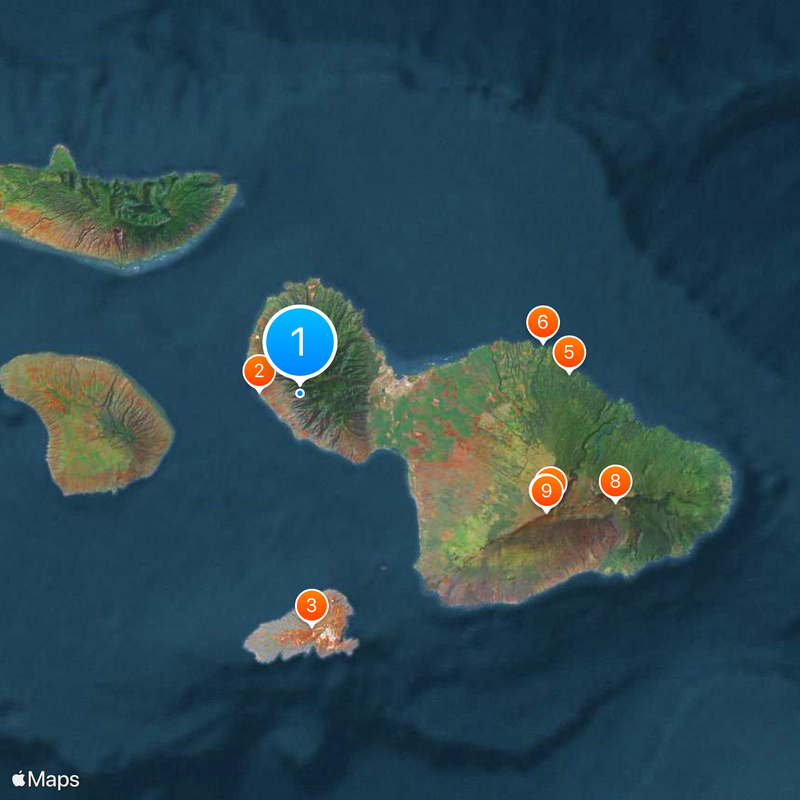
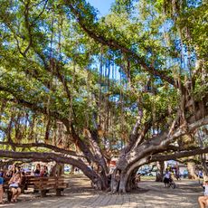
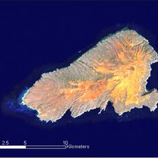
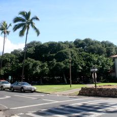
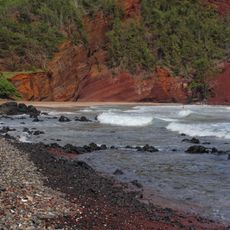
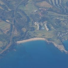
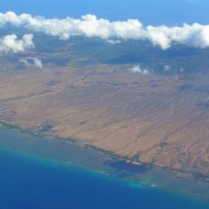
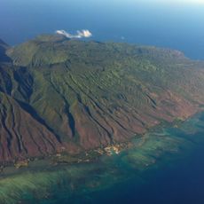
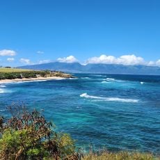
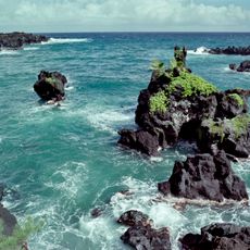
Maui County, Administrative division in Hawaii, United States

Maui County is an administrative division encompassing multiple Hawaiian islands including Maui, Molokai, and Lanai. The county operates 20 departments that handle water supply, waste management, parks, emergency services, and other essential functions across these islands.

The county was established through the Organic Act of 1905, which organized the Hawaiian Territory into political subdivisions for better administration. This structure enabled unified governance across the separated islands.

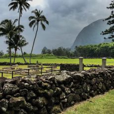
The county government works closely with Native Hawaiian representatives and incorporates their traditional values into local decision-making processes. This partnership shapes how services are delivered and how the community is heard in administrative matters.

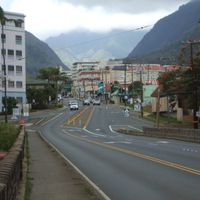
Visiting the islands in this county is straightforward, as they are connected by frequent ferry and flight services. Administrative offices are primarily located on Maui, making it the central hub for county services and information.

A computerized planning and permitting system processes development applications across all islands despite their geographical separation. This automated approach allows the county to coordinate services efficiently across multiple locations.

The community of curious travelers

AroundUs brings together thousands of curated places, local tips, and hidden gems, enriched daily by 60,000 contributors worldwide.

Start exploring
Location
Inception
1905
Capital city
Wailuku
Elevation above the sea
975 m
Shares border with
Kalawao County, Honolulu County
GPS coordinates
20.86774,-156.61706
Latest update
December 14, 2025 18:27
Around this place
Banyan tree in Lahaina
United States of America

Banyan tree in Lahaina

6.3 km
Kahoolawe
United States of America

Kahoolawe

35.4 km
Haleakalā
United States of America

Haleakalā

41.7 km
Hana Highway
United States of America

Hana Highway

41.2 km
Jaws
United States of America

Jaws

37.9 km
United States Space Surveillance Network
United States of America

United States Space Surveillance Network

41.4 km
Haleakalā National Park
United States of America

Haleakalā National Park

50.8 km
Pan-STARRS
United States of America

Pan-STARRS

41.6 km
Iao Valley
United States of America

Iao Valley

7.6 km
Lahaina Lighthouse
United States of America

Lahaina Lighthouse

6.4 km
West Maui Mountains
United States of America

West Maui Mountains

4.1 km
Haleakalā Observatory
United States of America

Haleakalā Observatory

41.5 km
Lahaina Banyan Court Park
United States of America

Lahaina Banyan Court Park

6.3 km
Red Sand Beach
United States of America

Red Sand Beach

67.3 km
Air Force Maui Optical and Supercomputing observatory
United States of America

Air Force Maui Optical and Supercomputing observatory

41.4 km
Kapalua Resort
United States of America

Kapalua Resort

15.4 km
Daniel K. Inouye Solar Telescope
United States of America

Daniel K. Inouye Solar Telescope

49.3 km
United States of America

Makena State Park

29.5 km
Maui Ocean Center
United States of America

Maui Ocean Center

13.8 km
East Molokai Volcano
United States of America

East Molokai Volcano

35.6 km
Kalaupapa Leprosy Settlement and National Historical Park
United States of America

Kalaupapa Leprosy Settlement and National Historical Park

49.6 km
King Kamehameha Golf Course Clubhouse
United States of America

King Kamehameha Golf Course Clubhouse

10.6 km
Lahainaluna High School
United States of America

Lahainaluna High School

5 km
United States of America

Makena Beach & Golf Resort

30.1 km
Pipiwai Trail
United States of America

Pipiwai Trail

62.8 km
Kamakou
United States of America

Kamakou

37.3 km
Hookipa Park Beach
United States of America

Hookipa Park Beach

28 km
Wai'anapanapa State Park
United States of America

Wai'anapanapa State Park

65.2 km
Show the full map
Reviews
Share your experience

No review yet

Discussions
Start a discussion...

No discussion yet

Administrative divisions
« Maui County - Administrative division in Hawaii, United States » is provided by Around Us (aroundus.com). Images and texts are derived from Wikimedia project under a Creative Commons license. You are allowed to copy, distribute, and modify copies of this page, under the conditions set by the license, as long as this note is clearly visible.

Discover hidden gems everywhere you go!

From secret cafés to breathtaking viewpoints, skip the crowded tourist spots and find places that match your style. Our app makes it easy with voice search, smart filtering, route optimization, and insider tips from travelers worldwide. Download now for the complete mobile experience.

Around Us App Screenshot

A unique approach to discovering new places

Le Figaro

All the places worth exploring

France Info

A tailor-made excursion in just a few clicks

20 Minutes

Around Us
Travel Guide & Maps
Download

Send to your phone

QR Code
1

Open the camera app on your mobile.

2

Point at the QR code with your camera. A notification will appear.

3

Tap the notification to open the link.