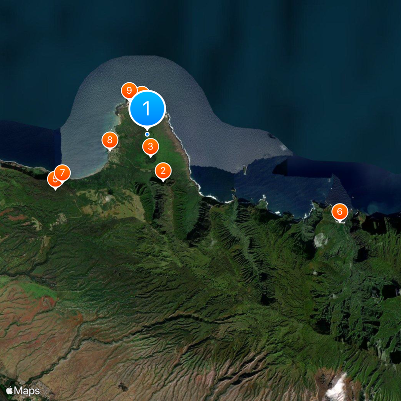
Kalawao County, County on Kalaupapa Peninsula, Hawaii
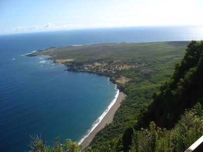
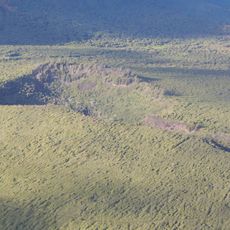
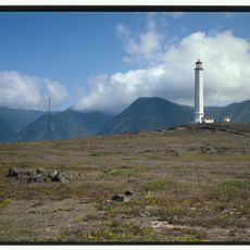
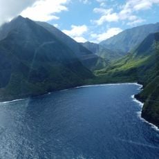
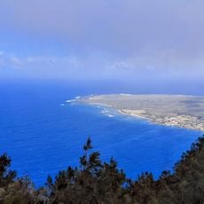
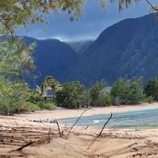
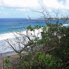
Kalawao County sits on the northern coast of Molokai Island and covers the Kalaupapa Peninsula, which is surrounded by steep cliffs that rise more than 1,300 feet (400 meters) high. Access is either through a narrow trail that descends the cliffs or by plane onto a small airstrip along the coast.
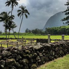
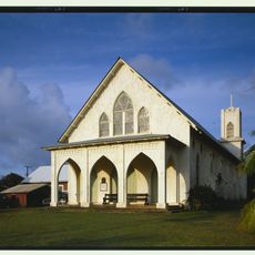
The Hawaii Department of Health founded this settlement in 1866 for individuals with Hansen's disease, who remained isolated there until effective treatments became available in 1969. Residents built homes, schools, and churches, forming their own community over the course of a century.
The Kalaupapa Peninsula takes its name from a Hawaiian word describing flat land formations that jut into the ocean and serve as natural barriers. The place remains in the memory of Hawaii's people as a site of isolation but also of community, where residents built a life together despite difficult circumstances.
Entry to the peninsula requires advance permission from the Hawaii Department of Health, and visitors must be at least 16 years old. Tours are typically led by residents who can share firsthand stories about the history of the place.
The area operates under direct administration of the Hawaii Department of Health with no local government, a result of its medical history. Some former residents chose to remain after 1969 and continued living on the peninsula in their homes.
The community of curious travelers
AroundUs brings together thousands of curated places, local tips, and hidden gems, enriched daily by 60,000 contributors worldwide.