Kona District, Administrative district on the western coast of Hawaii Island, United States
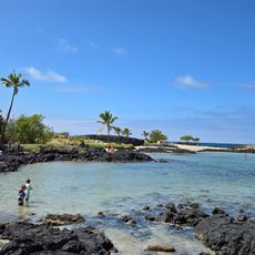
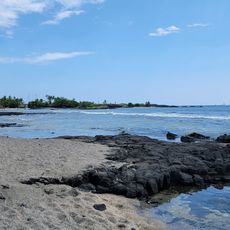
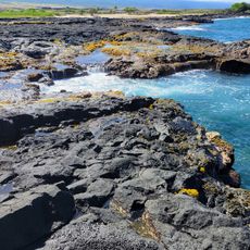
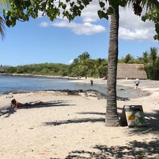
Kona District is an administrative area on the western coast of Hawaii Island in the United States. The landscape runs from the slopes of two volcanoes down to narrow coastal strips, where dark lava sand lines the shore and palms lean over shallow bays.
King Kamehameha spent his final years in this area and died here in 1819. His court attracted traders and settlers who laid the groundwork for the later coffee plantations, after missionaries arrived in the 1820s.
The name Kona comes from a Hawaiian word referring to the leeward side of the island. Fishermen and divers still use the sheltered bays along the coast, where calm water allows exploration year-round.
Those wishing to visit plantations will find most on the middle slopes, where roads wind through the fields in switchbacks. Coastal towns are easy to reach by car, while higher farms often require a longer drive on winding roads.
The volcano slopes block rain clouds from the east, leaving the west coast with much less rainfall than the opposite side of the island. This dry zone is ideal for coffee growing, as the plants thrive in moderate moisture and the higher elevations provide cooler nights.
The community of curious travelers
AroundUs brings together thousands of curated places, local tips, and hidden gems, enriched daily by 60,000 contributors worldwide.