Alaska's at-large congressional district, Congressional district in Alaska, United States.
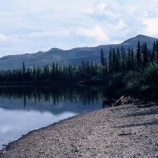
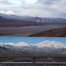
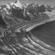
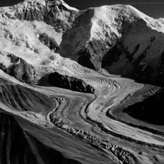
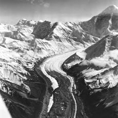
Alaska's at-large congressional district covers the entire state, stretching from the Bering Sea in the west to the Canadian border in the east, from the Arctic in the north to the Panhandle in the southeast. It includes coastal islands, mountain ranges, tundra and vast forests, forming the most widespread political representation in the country.
The district was created in 1959 when Alaska became a state and immediately gained one seat in the House of Representatives. The population has remained too small since then for division into multiple districts, keeping the entire area united for over 60 years.
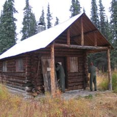
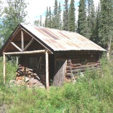
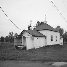
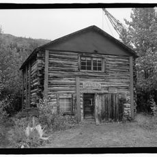
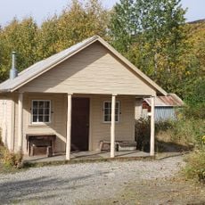
The district connects urban centers like Anchorage with remote villages where traditional ways of life such as fishing and subsistence hunting shape daily routines. Many communities are accessible only by plane or boat, reflecting the scattered nature of the population.
Voters in remote areas often rely on mail-in ballots or cast their votes at small regional polling places that sometimes open days in advance. Access to election information frequently comes through radio and local community centers, as internet connections remain limited in many regions.
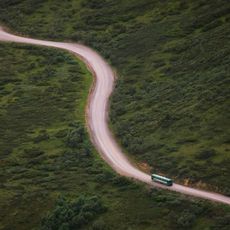
Despite the enormous expanse, the population density is less than one person per square kilometer, making the ratio between area and represented people unusual. The elected representative often has to spend weeks traveling to reach all regions in person, as some settlements lie hundreds of kilometers apart.
The community of curious travelers
AroundUs brings together thousands of curated places, local tips, and hidden gems, enriched daily by 60,000 contributors worldwide.