Portage Glacier, Glacier attraction in Chugach National Forest, Alaska
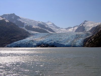
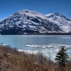
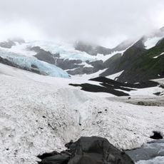
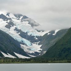
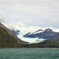
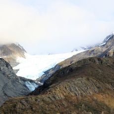
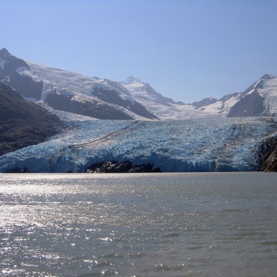
Portage Glacier descends from the Kenai Mountains between dark rocky slopes and ends in a pale blue and white ice wall along the water of Portage Lake. Its surface is cut by ridges and crevasses, and dark rocky debris lies at the base of the ice on both sides. The glacier is 7.5 km (4.7 mi) long and lies within Chugach National Forest, 6 km (4 mi) west of Whittier.
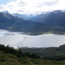
The name Portage Glacier was first recorded in 1898 by Thomas Corwin Mendenhall of the U.S. Coast and Geodetic Survey, after the portage route between Prince William Sound and Turnagain Arm. Centuries earlier the glacier filled the whole 14-mile Portage Valley and was joined to what are now five separate glaciers. Its terminus lay at the west end of Portage Lake until the early 20th century; between 1939 and 1950 it retreated 140 to 160 m per year as calving began.
The Begich Boggs Visitor Center displays exhibitions about local wildlife and regional ecosystems shaped by natural forces. Visitors learn how the 1964 earthquake transformed the landscape and continues to influence the area today.
From May through September, visitors can reach the glacier on hour-long boat tours or hike the Portage Pass Trail for a different perspective. Waterproof clothing is recommended since weather conditions near the lake can change quickly throughout the day.
Until the early 20th century the glacier's snout lay at the western end of Portage Lake. Between 1939 and 1950 it retreated 140 to 160 metres a year as its terminus moved off solid ground into the water and calved away. Since 1999, when the ice again reached firm ground at the lake's eastern end, the retreat has slowed markedly.
The community of curious travelers
AroundUs brings together thousands of curated places, local tips, and hidden gems, enriched daily by 92,618 contributors worldwide.