Chest opened
+${chestReward.xp} XP
Explorer
NOUVEAU ×${chestReward.collectible.quantity}
tapez pour fermer

See the monuments around you in AR Open chests in the app

Around Us is built for your phone — point your camera at the streets and discover the monuments and places around you in augmented reality. Around Us is built for your phone — chests unlock when you walk, explore and capture nearby places.

•

Enable Location

We need your location to show you interesting places around you

Discover nearby places

Find interesting locations and hidden gems around you

Precise directions

Get accurate directions and distances to places

Your location is never shared with other users. It's only used when you tap the location button.

Knik Arm Bridge

Log in to your account

Start exploring — it's free

Trusted by 92,729 travelers worldwide

Continue with Google
Continue with Apple
or

We will send you a code to connect

By continuing, you accept our Terms and Conditions and our Privacy Policy

Check your inbox

We've sent a pincode in your inbox. Please enter the code below.

Knik Arm Bridge, Bridge project location in Anchorage, United States

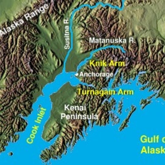
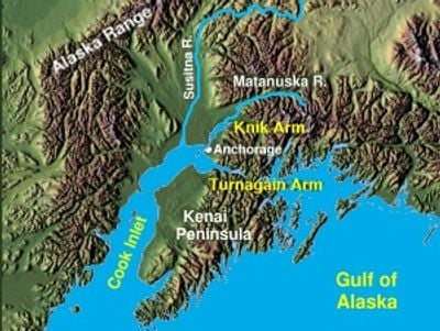
The Knik Arm Bridge is a dormant proposal for a 1.74-mile (2.80 km) crossing of Cook Inlet's Knik Arm, linking Anchorage with the Matanuska-Susitna Borough. The scheme pairs the span with 18 miles (29 km) of connector roads, ramps and a $50 million cut-and-cover tunnel under Government Hill; cost estimates run from $700 to $800 million.

Railroad engineers proposed bridging the Knik Arm as early as 1923 to create a route toward Alaska's interior regions. The concept remained under study for many decades before gaining official federal approval in more recent times, though funding obstacles have prevented construction.

The name Knik Arm Bridge has framed a century of debate in Anchorage: railroad engineers floated a crossing in 1923, and in 2003 the Alaska Legislature created KABATA to design, finance and operate it. Government Hill residents oppose options that would bisect their neighbourhood, while critics call the project pork-barrel because it was tied to the Gravina Island Bridge in funding legislation.

No bridge exists at the site, so there is no structure to walk across or view; the 1.74-mile span and 18 miles of connector roads remain unbuilt. Drivers between Anchorage and the Matanuska-Susitna Borough still rely on the Glenn and Parks Highways, the single road link the project was meant to supplement.

The project design included plans for a tunnel beneath Government Hill to address geographical constraints across the inlet. This added engineering complexity meant that costs extended well beyond the bridge span itself.

The community of curious travelers

AroundUs brings together thousands of curated places, local tips, and hidden gems, enriched daily by 92,729 contributors worldwide.
Start exploring
Location
GPS coordinates
61.28000,-149.90000
Latest update
October 24, 2026 20:51
Around this place
Port of Alaska
United States of America

Port of Alaska

2.8 mi
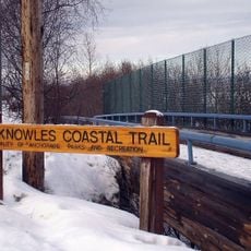
Tony Knowles Coastal Trail
United States of America

Tony Knowles Coastal Trail

4.1 mi
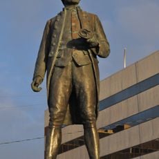
Statue of James Cook
United States of America

Statue of James Cook

4.2 mi
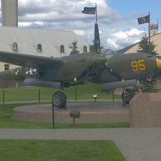
Temnac P-38G Lightning
United States of America

Temnac P-38G Lightning

3.9 mi
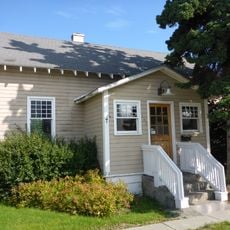
Alaska Engineering Commission Cottage No. 25
United States of America

Alaska Engineering Commission Cottage No. 25

4.1 mi
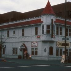
Wendler Building
United States of America

Wendler Building

4 mi
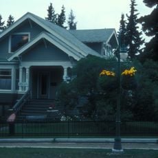
Leopold David House
United States of America

Leopold David House

4.1 mi
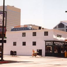
Kimball's Store
United States of America

Kimball's Store

4.1 mi
Alaska Engineering Commission Cottage No. 23
United States of America

Alaska Engineering Commission Cottage No. 23

4.1 mi
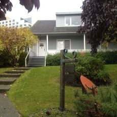
Civil Works Residential Dwellings
United States of America

Civil Works Residential Dwellings

3.6 mi
United States of America

Lockheed C-130E Hercules

4 mi
United States of America

Lockheed T-33A

4 mi
United States of America

McDonnell Douglas F-15A Eagle

4 mi
United States of America

Northrop F-89D Scorpion

4 mi
United States of America

Convair F-102A Delta Dagger

3.9 mi
United States of America

McDonnell F-4C Phantom II

3.9 mi
United States of America

Captain Cook Monument

4.2 mi
United States of America

Installation artwork, Work of art

4.1 mi
United States of America

Temnac P-38G Lightning

3.9 mi
United States of America

Fairchild C-123B Provider

3.1 mi
United States of America

Lockheed F-80C Shooting Star

3.1 mi
United States of America

North American T-6G Texan

3.1 mi
United States of America

North American F-86A Sabre

3.1 mi
United States of America

Scenic viewpoint

3.8 mi
United States of America

Ship Creek Overlook

4.1 mi
United States of America

Scenic viewpoint

3.5 mi
United States of America

Eisenhower Alaska Statehood Monument

4.1 mi
United States of America

Grandma Olga

3.8 mi
Show the full map
Reviews
Share your experience

No review yet

Discussions
Start a discussion...

No discussion yet

« Knik Arm Bridge - Bridge project location in Anchorage, United States » is provided by Around Us (aroundus.com). Images and texts are derived from Wikimedia project under a Creative Commons license. You are allowed to copy, distribute, and modify copies of this page, under the conditions set by the license, as long as this note is clearly visible.

Discover hidden gems everywhere you go!

From secret cafés to breathtaking viewpoints, skip the crowded tourist spots and find places that match your style. Our app makes it easy with voice search, smart filtering, route optimization, and insider tips from travelers worldwide. Download now for the complete mobile experience.

Around Us App Screenshot
❝

A unique approach to discovering new places❞

— Le Figaro

❝

All the places worth exploring❞

— France Info

❝

A tailor-made excursion in just a few clicks❞

— 20 Minutes

Around Us
Travel Guide & Maps
Download

Send to your phone

QR Code
1

Open the camera app on your mobile.

2

Point at the QR code with your camera. A notification will appear.

3

Tap the notification to open the link.