Enable Location

We need your location to show you interesting places around you

Discover nearby places

Find interesting locations and hidden gems around you

Precise directions

Get accurate directions and distances to places

Your location is never shared with other users. It's only used when you tap the location button.

Top of the World Highway

Log in to your account

Start exploring — it's free

Trusted by 61,756 travelers worldwide

Continue with Google
Continue with Apple
or

We will send you a code to connect

By continuing, you accept our Terms and Conditions and our Privacy Policy

Check your inbox

We've sent a pincode in your inbox. Please enter the code below.

Top of the World Highway

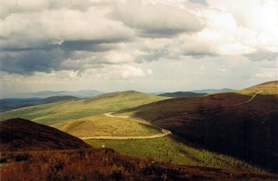
Top of the World Highway, Scenic mountain highway between Dawson City and Tok, Canada and Alaska

Description

The Top of the World Highway is a mountain road stretching roughly 300 kilometers through rugged terrain, connecting Yukon Territory with Alaska's interior. The route winds through high-elevation passes and vast wilderness landscape throughout its length.

History

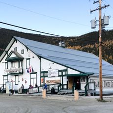
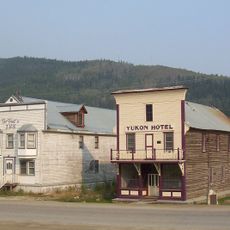
This road was completed in 1955, creating a direct transportation link between mining towns in Yukon and Alaska. The new route made travel between remote settlements on both sides far more practical.

Culture

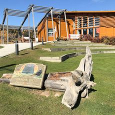
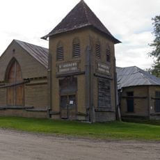
The road passes through lands where Indigenous peoples have long hunted and traveled, following routes established long before any international border existed here.

Practical

The road is typically open from May to September, though mountain weather can change quickly in this region. The border crossing operates during daylight hours, so plan your journey to cross before dark.

Did you know?

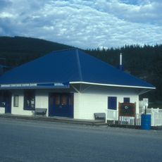
This crossing features North America's northernmost international border station, situated at an elevation where clear days offer sweeping views across the region. Many travelers underestimate how rapidly weather can shift at this exposed height.

Location
Inception
1955
GPS coordinates
64.21670,-140.35000
Latest update
December 6, 2025 16:02

AroundUs brings together thousands of curated places, local tips, and hidden gems, enriched daily by 60,000 contributors worldwide. Discover all places nearby (Yukon).

Excursions in Alaska: natural sites, glaciers and wildlife encounters

Alaska offers landscapes that stretch far from the cities, in areas where nature is in control. You will find glaciers coming down from the mountains, large volcanoes, sandy dunes, hot springs emerging from the ground, and waterfalls rushing down the cliffs. Each area shows how the land was shaped...

Remote natural areas and historic sites in Yukon

The Yukon Territory in northern Canada holds a collection of natural areas and historical sites located away from main highways. Visitors discover sand dunes, canyons, glacier landscapes, and natural features like Emerald Lake and hot springs. The region shaped its identity through the gold rush...

« Top of the World Highway - Scenic mountain highway between Dawson City and Tok, Canada and Alaska » is provided by Around Us (aroundus.com). Images and texts are derived from Wikimedia project under a Creative Commons license. You are allowed to copy, distribute, and modify copies of this page, under the conditions set by the license, as long as this note is clearly visible.

Discover hidden gems everywhere you go!

From secret cafés to breathtaking viewpoints, skip the crowded tourist spots and find places that match your style. Our app makes it easy with voice search, smart filtering, route optimization, and insider tips from travelers worldwide. Download now for the complete mobile experience.

Around Us App Screenshot

A unique approach to discovering new places

Le Figaro

All the places worth exploring

France Info

A tailor-made excursion in just a few clicks

20 Minutes

Around Us
Travel Guide & Maps
Download

Send to your phone

QR Code
1

Open the camera app on your mobile.

2

Point at the QR code with your camera. A notification will appear.

3

Tap the notification to open the link.