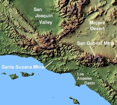
Los Angeles Basin, Structural basin in Southern California, US
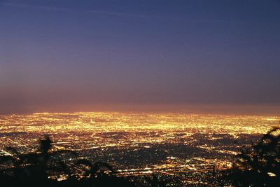
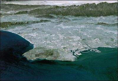
Los Angeles Basin is a geological feature in Southern California that stretches between the Santa Monica Mountains to the north and the Pacific Ocean to the south. The depression measures roughly 24 kilometers (15 miles) wide and extends about 56 kilometers (35 miles) from north to south.
Tectonic movements during the Neogene, roughly 15 million years ago, created this depression through subsidence along multiple fault lines. Later shifts in the crust continued to reshape the depth and form of the area.
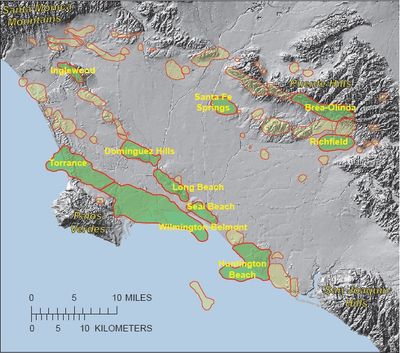
The basin sits between the coast and several mountain ranges, which shaped the growth of roads and communities throughout the area. People use the flatter sections for industry and housing, while traces of earlier oil drilling remain visible along the edges.
Four major faults divide the area into separate blocks, which causes regular earth tremors. Visitors should stay aware of seismic activity and follow local safety guidelines.
Below the surface, sedimentary layers stack down to 11 kilometers (7 miles), preserving fossils and mineral deposits. These layers offer researchers insight into millions of years of earth history.
The community of curious travelers
AroundUs brings together thousands of curated places, local tips, and hidden gems, enriched daily by 60,000 contributors worldwide.