Chula Vista, Charter city in San Diego County, United States
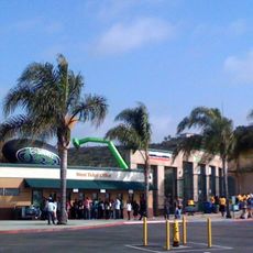
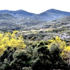
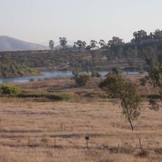
Chula Vista is a large city in San Diego County that spreads from the shore of San Diego Bay eastward toward low hills covered with dry brush and housing developments. The layout includes rows of single-family homes, strip malls along major avenues, and open spaces reserved for recreation and schools.
The area belonged to the Kumeyaay people before coming under Spanish and later Mexican administration, until the settlement was incorporated as a city in the United States in 1911. Agriculture shaped the early decades, before rapid population growth began after World War II.
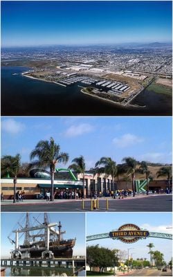
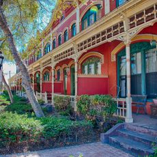
The name translates from Spanish as "beautiful view", reflecting the city's connection to its Mexican past and the landscape it overlooks. Many residents speak both English and Spanish in daily life, and family-run restaurants along Third Avenue serve recipes passed down through generations.
The city is easiest to explore by car, as distances between neighborhoods are large and bus routes cover the main corridors. Summer months can be hot, while the rest of the year offers mild temperatures comfortable for outdoor activity.
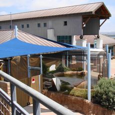
A large training center for elite athletes prepares competitors for international events and houses facilities for rowing, cycling, and other disciplines. Visitors can sometimes watch training sessions when public events are scheduled.
The community of curious travelers
AroundUs brings together thousands of curated places, local tips, and hidden gems, enriched daily by 60,000 contributors worldwide.