Enable Location

We need your location to show you interesting places around you

Discover nearby places

Find interesting locations and hidden gems around you

Precise directions

Get accurate directions and distances to places

Your location is never shared with other users. It's only used when you tap the location button.

Perris

Log in to your account

Start exploring — it's free

Trusted by 68,284 travelers worldwide

Continue with Google
Continue with Apple
or

We will send you a code to connect

By continuing, you accept our Terms and Conditions and our Privacy Policy

Check your inbox

We've sent a pincode in your inbox. Please enter the code below.

Discussion Reviews 5 Photos
85.4k Popularity

Perris, Railway city in Riverside County, California.

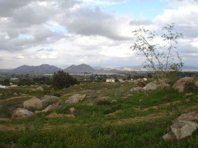
Perris is a town in Riverside County, California, covering roughly 32 square miles (83 square kilometers) between gentle hills and flat plains. The area sits about 1,450 feet (440 meters) above sea level and connects residential neighborhoods with large warehouse complexes and agricultural land stretching east and south.

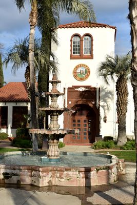
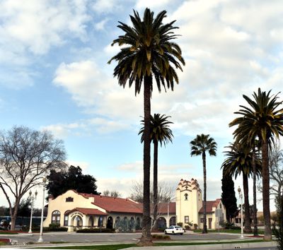
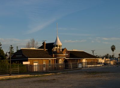
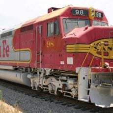
The settlement formed in 1885 when residents of a nearby place moved two miles north to be closer to the new railroad line. The railway chief gave the community his name, and the connection to Los Angeles and San Diego helped the town grow.

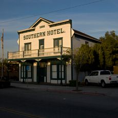
The town carries the name of a railroad engineer who planned the route through this area in the late 1800s. Wide streets and warehouse buildings shape the townscape today, while residential neighborhoods spread between commercial zones where distribution centers and schools form the largest employers.

The town spreads along several main roads running north to south and east to west, which help with finding your way around. Visitors find public facilities and shopping areas mostly in the central part, while recreation sites and airfields sit at the edge of town.

A small airport west of town offers a runway roughly 5,100 feet (1,550 meters) long and serves mostly skydivers as a base. Many visitors come here to jump from high altitude and glide over the wide inland plains.

The community of curious travelers

AroundUs brings together thousands of curated places, local tips, and hidden gems, enriched daily by 60,000 contributors worldwide.

Start exploring
Location
Elevation above the sea
443 m
Shares border with
Moreno Valley
GPS coordinates
33.78250,-117.22861
Latest update
December 14, 2025 17:03
Around this place
Riverside National Cemetery
United States of America

Riverside National Cemetery

11.3 km
Orange Empire Railway Museum
United States of America

Orange Empire Railway Museum

2.3 km
California Theatre
United States of America

California Theatre

9.3 km
Atchison, Topeka and Santa Fe Railway 108
United States of America

Atchison, Topeka and Santa Fe Railway 108

2.4 km
Canyon Lake
United States of America

Canyon Lake

11.2 km
United States of America

Perris Auto Speedway

7.8 km
United States of America

Motte Rimrock Reserve

4.3 km
Southern Hotel
United States of America

Southern Hotel

76 m
Lake Perris Fairgrounds
United States of America

Lake Perris Fairgrounds

8 km
Motte Historical Car Museum
United States of America

Motte Historical Car Museum

7.3 km
Národní památník Prisoner of War/Missing in Action
United States of America

Národní památník Prisoner of War/Missing in Action

11.4 km
Perris Beach
United States of America

Perris Beach

9.6 km
Moreno Beach
United States of America

Moreno Beach

11.1 km
United States of America

University of California Ecological Study Area

6.1 km
United States of America

Perris Reservoir

9.7 km
Bernasconi Beach
United States of America

Bernasconi Beach

9.2 km
United States of America

California Golf & Art Country Club

9.2 km
United States of America

General Old Golf Course

11.4 km
United States of America

Highland Palm Golf Course

10.9 km
United States of America

Skydive Perris

2.3 km
United States of America

North Golf Course

8 km
United States of America

Perris Valley Thermometer

1.6 km
United States of America

Perris‐Menifee Aquatic Center

4.8 km

Monument Ranch Park Stone Amphitheater

4.7 km
United States of America

RVHS Theatre

8.9 km

Perris Beach

9.6 km
United States of America

Moreno Beach

11 km
United States of America

St. Vincent Ferrer Catholic Church

7.7 km
Show the full map
Reviews
Share your experience

No review yet

Discussions
Start a discussion...

No discussion yet

« Perris - Railway city in Riverside County, California » is provided by Around Us (aroundus.com). Images and texts are derived from Wikimedia project under a Creative Commons license. You are allowed to copy, distribute, and modify copies of this page, under the conditions set by the license, as long as this note is clearly visible.

Discover hidden gems everywhere you go!

From secret cafés to breathtaking viewpoints, skip the crowded tourist spots and find places that match your style. Our app makes it easy with voice search, smart filtering, route optimization, and insider tips from travelers worldwide. Download now for the complete mobile experience.

Around Us App Screenshot

A unique approach to discovering new places

Le Figaro

All the places worth exploring

France Info

A tailor-made excursion in just a few clicks

20 Minutes

Around Us
Travel Guide & Maps
Download

Send to your phone

QR Code
1

Open the camera app on your mobile.

2

Point at the QR code with your camera. A notification will appear.

3

Tap the notification to open the link.