Chest opened
+${chestReward.xp} XP
Explorer
NOUVEAU ×${chestReward.collectible.quantity}
tapez pour fermer

See the monuments around you in AR Open chests in the app

Around Us is built for your phone — point your camera at the streets and discover the monuments and places around you in augmented reality. Around Us is built for your phone — chests unlock when you walk, explore and capture nearby places.

Enable Location

We need your location to show you interesting places around you

Discover nearby places

Find interesting locations and hidden gems around you

Precise directions

Get accurate directions and distances to places

Your location is never shared with other users. It's only used when you tap the location button.

Log in to your account

Start exploring — it's free

Trusted by 80,533 travelers worldwide

Continue with Google
Continue with Apple
or

We will send you a code to connect

By continuing, you accept our Terms and Conditions and our Privacy Policy

Check your inbox

We've sent a pincode in your inbox. Please enter the code below.

Double Butte
Discussion Reviews Photo
1.4k Popularity

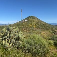
Double Butte, Mountain summit in Riverside County, California, United States

Double Butte is a two-peaked mountain in Riverside County that rises distinctly above the surrounding desert terrain. The western peak reaches approximately 2,579 feet and the eastern peak rises to about 2,480 feet, creating an unmistakable profile visible from nearby areas.

The eastern ridge contains metamorphic rocks formed during the Triassic-Jurassic period, while the remainder of the range is composed of Cretaceous granite. These rock types reveal different stages of the region's geological development over millions of years.

The mountain serves as a landmark in the local outdoor community, where hikers and nature observers regularly visit to explore and document the landscape. It functions as a gathering point for people interested in understanding the geological features of the region.

The mountain can be accessed via two separate hiking trails, with one leading to the peak and another following the western face. Starting early in the day and bringing plenty of water is important, as the area offers little shade and exposure can be significant.

The summit ranks among the 28 most prominent peaks in Riverside County, with its elevation rising approximately 914 feet above the immediately surrounding terrain. This prominence makes it a noticeable landmark visible from many vantage points across the region.

The community of curious travelers

AroundUs brings together thousands of curated places, local tips, and hidden gems, enriched daily by 60,000 contributors worldwide.

Start exploring
Location
GPS coordinates
33.72391,-117.12336
Latest update
July 24, 2026 05:28
Around this place
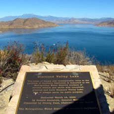
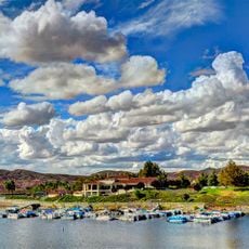
Diamond Valley Lake
United States of America

Diamond Valley Lake

9.5 km
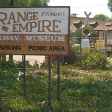
Orange Empire Railway Museum
United States of America

Orange Empire Railway Museum

11 km
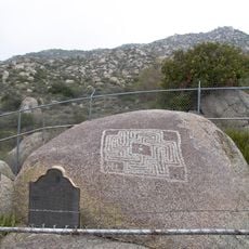
Hemet Maze Stone
United States of America

Hemet Maze Stone

9 km
California Theatre
United States of America

California Theatre

15.7 km
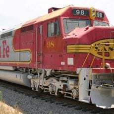
Atchison, Topeka and Santa Fe Railway 108
United States of America

Atchison, Topeka and Santa Fe Railway 108

11 km
Canyon Lake
United States of America

Canyon Lake

14.1 km
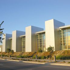
Western Science Center
United States of America

Western Science Center

12.2 km
United States of America

Perris Auto Speedway

15.7 km
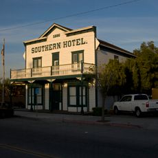
Southern Hotel
United States of America

Southern Hotel

11.7 km
Lake Perris Fairgrounds
United States of America

Lake Perris Fairgrounds

15.8 km
Bell Mountain
United States of America

Bell Mountain

7.7 km
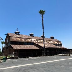
Motte Historical Car Museum
United States of America

Motte Historical Car Museum

4.5 km
United States of America

Perris Reservoir

15.5 km
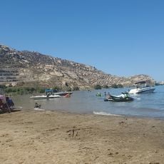
Bernasconi Beach
United States of America

Bernasconi Beach

14.2 km
United States of America

Maze Stone Historical Marker

8.9 km
United States of America

North Golf Course

6.9 km
United States of America

Highland Palm Golf Course

1.6 km
United States of America

Panorama Golf Course

12.9 km
United States of America

California Golf & Art Country Club

7.5 km
United States of America

Menifee Lakes Country Club

4.8 km
United States of America

Canyon Lake Golf and Country Club

13.6 km
United States of America

Seven Hills Golf Club

11.8 km
United States of America

Skydive Perris

10 km
United States of America

Echo Hills Golf Course

14.7 km
United States of America

Perris Valley Thermometer

10.3 km
United States of America

Perris‐Menifee Aquatic Center

7 km

Holiday Harbor Park Amphitheater

14.6 km
United States of America

Statue, Work of art

15.1 km
Show the full map
Reviews
Share your experience

No review yet

Discussions
Start a discussion...

No discussion yet

« Double Butte - Mountain summit in Riverside County, California, United States » is provided by Around Us (aroundus.com). Images and texts are derived from Wikimedia project under a Creative Commons license. You are allowed to copy, distribute, and modify copies of this page, under the conditions set by the license, as long as this note is clearly visible.

Discover hidden gems everywhere you go!

From secret cafés to breathtaking viewpoints, skip the crowded tourist spots and find places that match your style. Our app makes it easy with voice search, smart filtering, route optimization, and insider tips from travelers worldwide. Download now for the complete mobile experience.

Around Us App Screenshot

A unique approach to discovering new places

Le Figaro

All the places worth exploring

France Info

A tailor-made excursion in just a few clicks

20 Minutes

Around Us
Travel Guide & Maps
Download

Send to your phone

QR Code
1

Open the camera app on your mobile.

2

Point at the QR code with your camera. A notification will appear.

3

Tap the notification to open the link.